Collaborating to Develop a Data Collection Tool for Shoreline Surveys
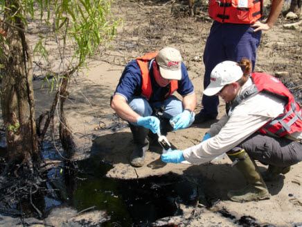
On Thursday, August 28, 2014, OR&R's Emergency Response Division responders, managers and developers (John Tarpley, Jordan Stout, Carl Childs, Michael Katz, and Glen Watabayashi) met with oil spill responders from the California Office of Spill Prevention and Response and U.S. Environmental Protection Agency in Sacramento, California. The meeting kicked off a collaboration to develop a new handheld Shoreline Cleanup Assessment Technique (SCAT) data collection tool.
To be used on a mobile device such as an iPad, the new tool will integrate field data collection with GPS information in a state-of-the-art GIS and telecommunications system. When completed, this tool will greatly improve the speed and accuracy of field data collection during oil spills. Each organization has assigned personnel to a steering committee that will define the data standards, operational requirements, and development pathway. Initial plans are to deliver the new tool to the response community before the International Oil Spill Conference in 2017.
For more information, contact Carl.Childs@noaa.gov.
Go back to OR&R Weekly Report.

