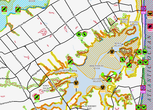
Release of Environmental Sensitivity Index Maps and Data for Several Atlantic States
DECEMBER 2, 2016--The Environmental Sensitivity Index (ESI) data categorize the coastal shoreline based on oil sensitivity, persistence, and ease of clean-up.
Oil sensitive animals, rare plants and habitats as well as a variety of human use resources are also mapped. A large effort has been underway to re-map much of the Atlantic coast. Several of these regions are now available for download. Geographic Information System (GIS) data are available for Maine and New Hampshire, Long Island Sound, New York/New Jersey Metro area including the Hudson River and South Long Island, Chesapeake Bay including Maryland and Virginia outer coasts, North Carolina, South Carolina, and Georgia. Maps, in Portable Document Format (PDF), are available for South Carolina, Long Island Sound, Georgia and the New York/New Jersey region. PDFs for the other regions listed will be coming soon, as well as PDF maps for the Washington/Oregon Outer Coast data published in late 2014. GIS data for Massachusetts/Rhode Island is currently under review and will be posted as soon as possible, followed by PDF maps for that region.
For further information, contact Jill.Petersen@noaa.gov.
Go back to OR&R Weekly Report.

