Science and Spatial Data Support for Alaska North Slope Oil Spill Drill
AUGUST 5, 2016 — DRILL: A simulated pipeline spill releasing 500 barrels of crude oil and process water along the Kalubik Creek on the morning of August 3 prompted a sizeable response of vessels, boom and field teams by the responsible party, oil spill response organizations, locals (North Slope Borough), state and federal agencies.
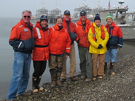
During the course of the drill, OR&R's Emergency Response Division participated in Shoreline Cleanup Assessment Technique (SCAT) surveys on Arctic shorelines and provided critical and timely hypothetical shoreline oiling data to the Incident Command Post in Anchorage nearly 850 road miles away.
Meanwhile additional OR&R staff provided a broad spectrum of support in the form of oil fate and transport modeling, Resource at Risk support, initiating Endangered Species Act and cultural resource consultations, managing SCAT data and displaying a large amount of operational and environmental info in ERMA® critical to support effective response decisions.
The drill prompted many conversations among responders including how SCAT efforts and data might be effectively managed in areas so remote from the primary command post, those related to endangered species efforts, and identifying useful data layers for ERMA in future oil spill planning, drills, and spills.
For more information, contact Catherine.Berg@noaa.gov.
Go back to OR&R Weekly Report.

