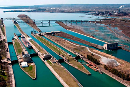
New Environmental Sensitivity Index Maps Produced for St. Marys and St. Lawrence Rivers
DECEMBER 6, 2021 — OR&R’s Environmental Sensitivity Index (ESI) program released a new set of ESI data and maps for two critical links in the Great Lakes region. Work was completed in July 2021 to refresh outdated ESI mapping data for the St. Marys and St. Lawrence Rivers, and the maps are now available for download from the OR&R website, as well as through Great Lakes Environmental Response Management Application (ERMA®).

Funding for this critical update was provided by the U.S. Coast Guard.
These rivers are high-risk corridors for an oil or chemical spill due to transport by rail, pipeline, and commercial shipping, and they contain diverse and sensitive habitats. The previous ESI maps for the St. Marys and St. Lawrence Rivers dated to 1986 and 1985, respectively. This update will allow the new data to be fully incorporated into the digital analysis tools in ERMA.
The refresh of Great Lakes ESI maps will continue with updates for Lake Erie due in fiscal year 2022.
For more information, please contact Nicolle.R.Rutherford@noaa.gov.
