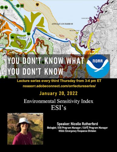
In OR&R Lecture, ESI Program Manager Discusses the Future of ESIs
JAN 31, 2022 — It's a sight that nobody wants to encounter: an oil spill at your favorite local stretch of coastline. You may immediately think of the sea turtles trying to nest on the beach, but there is much more to protect than meets the eye.
How can you learn about the fish, sea grass, birds, and other species that make the area unique? How can you know what is in or around the coast that could be affected by this spill?
This is where Environmental Sensitivity Index maps and data come into play. ESI maps contain compiled information that identifies the types of shorelines, plants, and animals that are in the area, as well as identifying the seasons when these animals will be breeding or passing through. Clearly, this information is extremely beneficial for oil spill responders in identifying what they may see during an incident and planning to adjust their response to ensure the least impact on the natural area.
On Jan.20, as part of the OR&R lecture series, You Don’t Know What You Don’t Know, OR&R biologist and ESI Program Manager Nicolle Rutherford walked through how to use ESI maps to identify the characteristics of the shoreline and the presence of biological and human-use resources, along with how to access the ESI maps in ERMA® (Emergency Response Management Application).
Nicolle also addressed some of the conversations and new ideas that came out of the Next Generation ESI Workshop held in fall 2020, and laid out some potential paths for the future of ESIs.
For further information, contact Nicolle.R.Rutherford@noaa.gov or Hayley.Betker@noaa.gov.