OR&R Testing Methods for Remote Detection of Marsh Vegetation Health in Support of Oil Spill Assessments
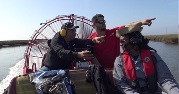
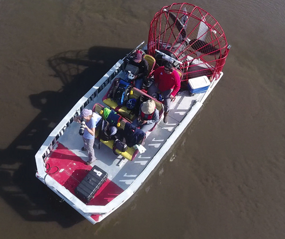
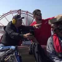
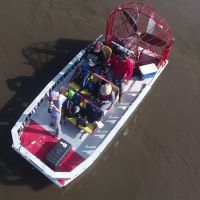
JANUARY 17, 2020 — Last week NOAA OR&R scientists were invited by scientists from Watermapping LLC, to participate in field experiments to help determine the potential for using remote sensing to characterize marsh vegetation health following an oil spill event.
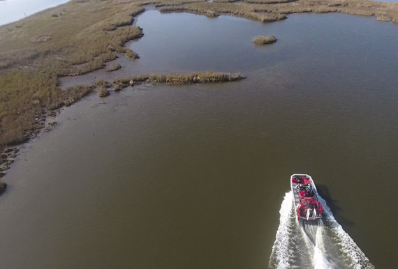
The small team spent a day in marsh areas in Louisiana that have previously been oiled. Earlier studies in the area documented the spill using remote sensing platforms (Unmanned Aircraft System or UAS, and fixed wing aircraft) with specialized sensors (multi spectral, thermal, and high resolution optical) that have been calibrated for oil, and that can detect parameters/indicators associated with vegetation health. Measuring and interpreting these indicators using UAS would be a valuable tool in support of oil spill assessments. Continued development of rapid and consistent data processing methods that result in easy to read and interpret mapping products helps support injury quantification and restoration. There are challenges ahead, but getting out into the field to collect relevant datasets to evaluate is an important step forward.
For more information, contact Lisa.DiPinto@noaa.gov.
more images


