OR&R Charts a Path for Remote Sensing Research and Applications
FEB. 5, 2024 — On January 9-10, more than 30 OR&R researchers and users of remote sensing products met at NOAA’s Western Regional Center in Seattle to outline operational applications in support of OR&R’s mission spectrum and to chart a near-term research path on the topic of remote sensing and uncrewed aerial systems (UAS).

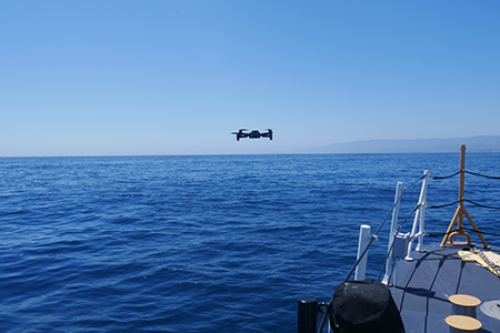
OR&R and other agency partners and stakeholders are increasingly using remote sensing tools and technologies to address oil spills, assess conditions after disasters, and evaluate marine debris. Staff feedback confirms that the use of object detection and image classification (potentially paired with machine learning and uncrewed systems) is an expanding capability in support of NOAA’s mission.
A steering committee, composed of representatives from each OR&R division, led the development of the workshop agenda with the Coastal Response Research Center (CRRC) of the University of New Hampshire. The CRRC facilitated the workshop and helped improve the discussion about science capabilities and case studies. Outcomes of this workshop may inform future conversations with OR&R partners.
