OR&R Supports Response to Hurricane Dorian in the Carolinas
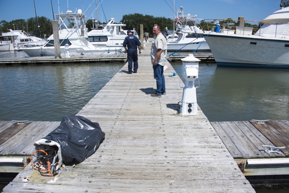
The Office of Response and Restoration (OR&R) continues to support the U.S. Coast Guard response efforts in the Carolinas following Hurricane Dorian, which made landfall in the U.S. last week.
Dorian first developed as a tropical storm on Aug. 24 in the Central Atlantic before devastating the Bahamas as a Category 5 hurricane on Sept. 2-3. Dorian’s trajectory slowed over the following days as it made its way northeast where it made landfall at Cape Hatteras, North Carolina on Sept. 6 — fluctuating between a Category 1 and Category 2 hurricane.
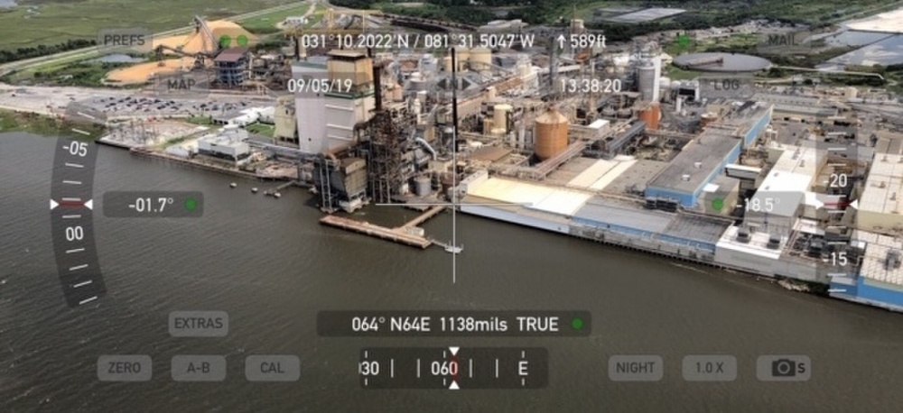
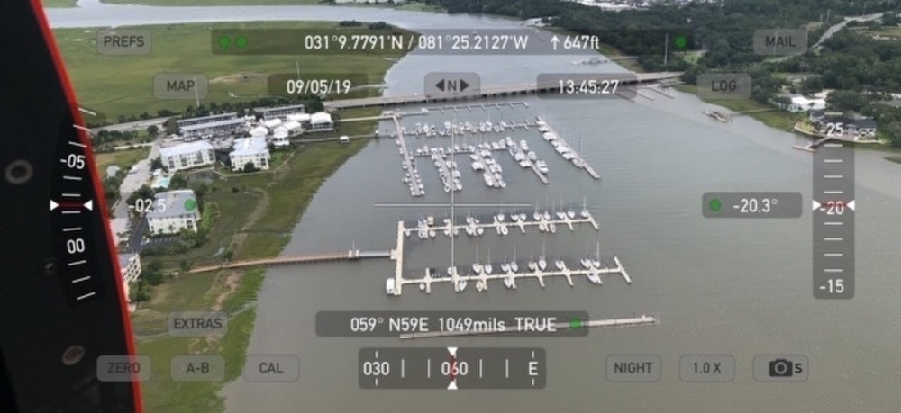
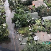
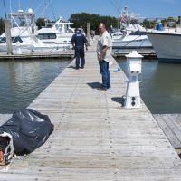
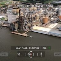
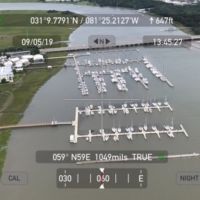
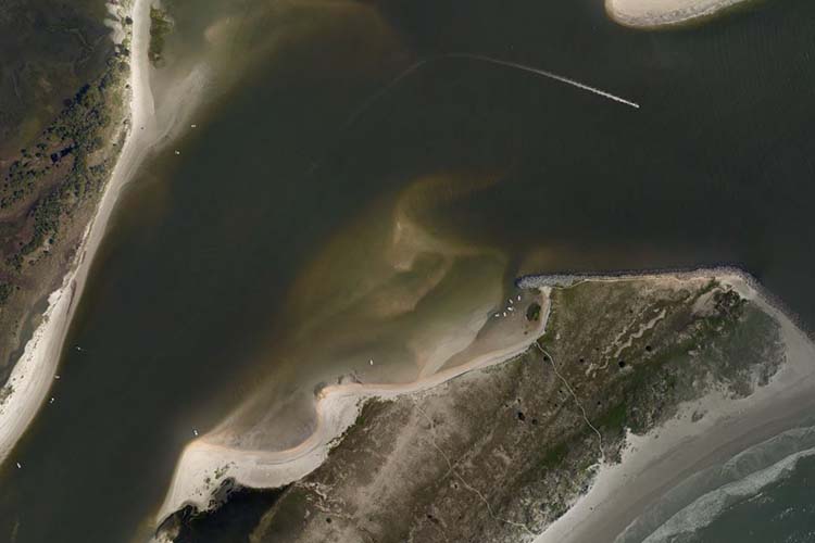
Through overflights done by both the U.S. Coast Guard and the National Geodetic Survey to assess shoreline impacts, more than 60 vessels have been identified as a potential pollution risk. Scientific Support Coordinator Frank Csulak, with OR&R’s Emergency Response Division, is currently working out of Coast Guard operations in Kill Devil Hills, North Carolina.
OR&R’s contract partner, Research Planning, Inc., is screening targets to determine vessel priorities. The total number of target vessels and containers to date is 61. The Coast Guard is in the process of bringing in contractors to remove the hazardous materials from the vessels. The Coast Guard also continues to conduct ground surveys.
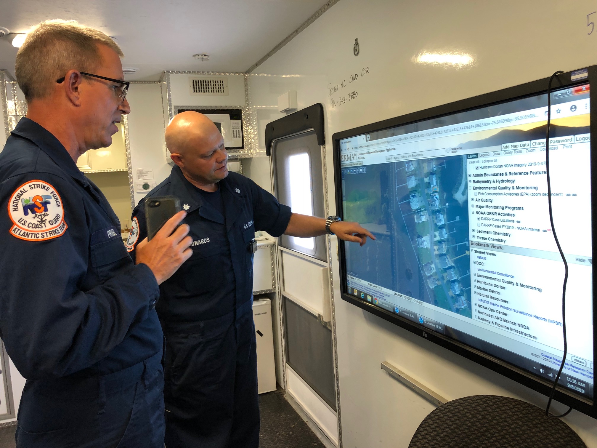
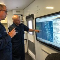
The Environmental Response Management Application (ERMA®) is being used as the common operating picture for the response to Dorian. ERMA is an online mapping tool that integrates both static and real-time data. In addition to pooling together overflight imagery, ERMA provides NOAA staff, facility, and asset information.
For more information on the response efforts in the Carolinas and the Bahamas, visit the U.S. Coast Guard newsroom.
more images

