OR&R Helps Test California’s New Shoreline Assessment Application
OCTOBER 21, 2016--California’s Office of Spill Prevention & Response (OSPR) recently developed an iPad-based electronic field data collection tool for spill response.
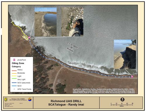
This application, known as “SCATalogue”, would be used by teams when characterizing the nature and extent of shoreline oiling using the Shoreline Cleanup Assessment Technique (SCAT). OR&R’s Emergency Response Division is helping beta-test “SCATalogue” at this week’s Chevron Unmanned Aircraft Systems (UAS) Exercise. (See “Exploring the Use of Drones for Oiled Shoreline Assessments” in this issue of OR&R Weekly.)
Though some small glitches were found along the way, this electronic field data collection tool is showing great promise for quickly and efficiently collect shoreline oiling data, provide near real-time data transmission and allow production of timely, useful, and informative summary products for decision-makers.
For additional information, contact Jordan.Stout@noaa.gov.
Go back to OR&R Weekly Report.

