OR&R Participates in Florida Marine Spill Analysis System and Natural Resource Damage Assessment Workshop
MARCH 31, 2017 -- To maintain preparedness and enhance coordination between the state and NOAA, the Florida state scientific support coordinator assembled state emergency responders and Natural Resource Damage Assessment (NRDA) practitioners for a two-day workshop focusing on the Florida Marine Spill Analysis System and Natural Resource Damage Assessment.
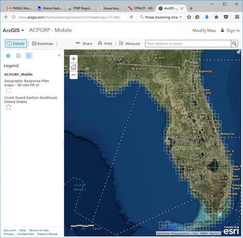
The Florida Marine Spill Analysis System is a geographic information system working within ESRI’s ArcMap program. The workshop covered updates to the Florida system, generating Resources at Risk reports, Geographic Response Plans, and using the system to support NRDA using Florida’s compensation schedule.
Participants included representatives from Florida’s nine districts, NOAA staff from OR&R and the Florida Keys National Marine Sanctuary.
Daniel Hahn of ORR’s Assessment and Restoration Division and the primary NRDA contact for Florida, gave a presentation outlining the federal process for larger damage assessments that might be conducted in the state. The presentation covered the basics of NRDA: restoring natural resources in order to compensate for impacts resulting from oil and chemical releases, NRDA interactions with the response, the basics of scaling injuries, and the authorities under which NRDA takes place.
Steve Werndli from the Florida Keys National Marine Sanctuary gave an overview of the capabilities of NOAA’s Environmental Response Management Application (ERMA), highlighting some of the common data found in both ERMA and the Florida system as well as the web-based functionality of ERMA.
For further information, contact Daniel.Hahn@noaa.gov.
Go back to OR&R Weekly Report.

