Update on the Texas City "Y" Response in Galveston Bay

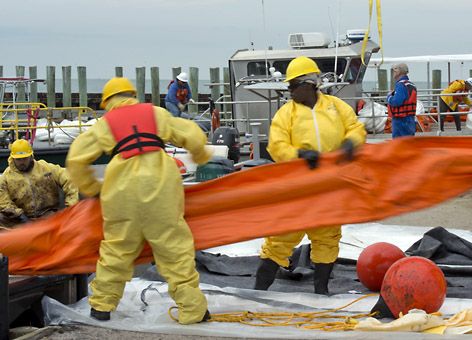
POSTED March 25 | UPDATED March 27, 2014—The Saturday vessel collision in Galveston Bay (see Kirby Barge Oil Spill, Houston/Texas City Ship Channel, Port Bolivar, Texas) that resulted in an oil spill of approximately 168,000 gallons caused the closure of the heavily trafficked Port of Houston for 3 days. The Houston Ship Channel is now open, with some restrictions. There is a safety zone in effect in cleanup areas.
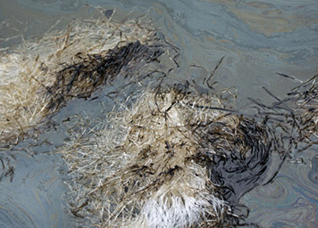
As predicted, strong southerly winds stranded much of the offshore oil overnight in the Matagorda region and these onshore winds are expected to bring ashore the remaining floating oil off Matagorda Island by Friday morning. Closer to the collision site, there have been very few new reports of remaining floating oil in Galveston Bay or offshore Galveston Island. However, new shoreline impacts may still be occurring in those areas due to re-mobilization of stranded oil or remaining scattered sheens and tarballs.

NOAA is providing scientific support to the U.S. Coast Guard, including trajectory forecasts of the floating oil movement, shoreline assessment, information management, overflight tracking of the oil, weather forecasts, and natural and economic resources at risk. Marine mammal and turtle stranding network personnel are responding. The NOAA Weather Service Incident Meteorologist is on-scene, as are additional NOAA personnel. Natural resource damage assessment personnel are at Galveston Bay and are initiating preassessment activities. The preassessment period is an on-scene evaluation of what the type of oil is, where it has gone, where it may be going and what resources are or may be at risk.
See the latest OR&R trajectory forecast map.
