Draft Damage Assessment Plan for Gowanus Canal, New York Open for Public Comment
MARCH 11, 2024 — The U.S. Fish and Wildlife Service, on behalf of the Gowanus Canal Natural Resource Damage Assessment and Restoration (NRDAR) Trustees, invites public comment on a Draft Damage Assessment Plan, which details the Trustees’ proposed approach to conducting a natural resource damage assessment for the Gowanus Canal. We encourage the public to review the draft plan and share comments through April 15, 2024.

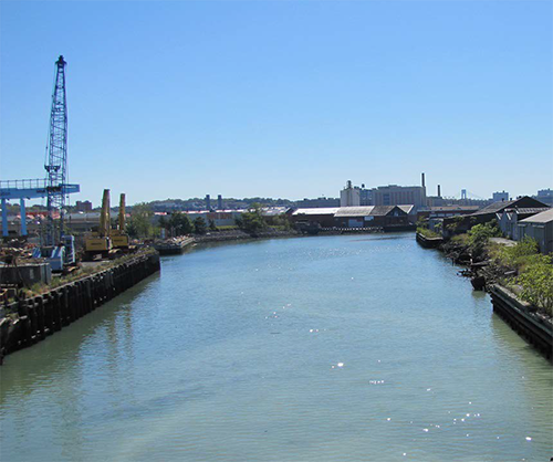
The Gowanus Canal is a 1.8-mile-long canal in the New York City borough of Brooklyn, on the westernmost portion of Long Island. It has suffered from many decades of pollution, from multiple sources including hazardous waste sites, runoff, and combined sewers. The Gowanus Canal was built in the mid-1800s and once served as a major commercial route to New York Harbor. A variety of industries historically operated along its banks, including manufactured gas and chemical plants, mills, and tanneries.
The Gowanus Canal NRDAR Trustees include the Department of Commerce, represented by NOAA; the Department of the Interior, represented by the U.S. Fish and Wildlife Service; and the State of New York, represented by the New York Department of Environmental Conservation.
Public participation is an important part of the NRDAR process. Comments on the Draft Assessment Plan are available until April 15, 2024.
For more information, check out the Damage Assessment, Remediation, and Restoration Program (DARRP) page.
