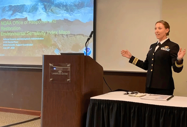
Environmental Sensitivity Index Map Presentation to Michigan Responders
JULY 11, 2022 — Recently, LCDR Rachel Pryor presented at the Environmental Emergency Management Conference hosted by Michigan’s Environment, Great Lakes, and Energy state department.

The talk focused on the history of NOAA’s Environmental Sensitivity Index maps, why they are a critical tool for planning and pollution response, and the path forward to update maps for the entire Great Lakes. Until work began in 2019, the Great Lakes maps were the oldest in the region. With partnership support and congressional recognition, these maps are on track for updates that include georeferenced PDFs and integration of data layers into NOAA’s Environmental Response Management Application (ERMA®).
For further information, contact Rachel.L.Pryor@noaa.gov.
