Geographic Response Strategies
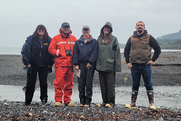
SEPTEMBER 20, 2021 ─ A U.S. Coast Guard-led planning team which included Alaska Department of Environmental Conservation, NOAA Scientific Support Coordinator, and University of Alaska Arctic Research Institute, that traveled to Kodiak to evaluate oil spill response Geographic Response Strategies or GRS.

GRS are oil spill response plans tailored to protect a specific sensitive area from impacts following a spill. Environmental conditions at GRS sites frequently change according to season, storm impact, erosion, substrate redistribution, and other factors, therefore GRS are intended to be flexible, allowing spill responders to modify them as prevailing conditions dictate. These response plans are map-based strategies that can save time during the critical first few hours of an oil spill response. They show responders where sensitive areas are located and where to place oil spill protection resources. The field site visits allow the team to verify that the selected response tactics are appropriate and are properly located as identified on the maps.
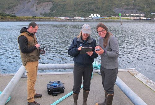
The evaluation team used an Uncrewed Aerial System to collect imagery for sites that could not be reached on foot, as weather permitted. The team also tested out a new GRS Collector App tool that allows us to directly edit the GRS data while in the field.
For further information, contact Catherine.Berg@noaa.gov.

