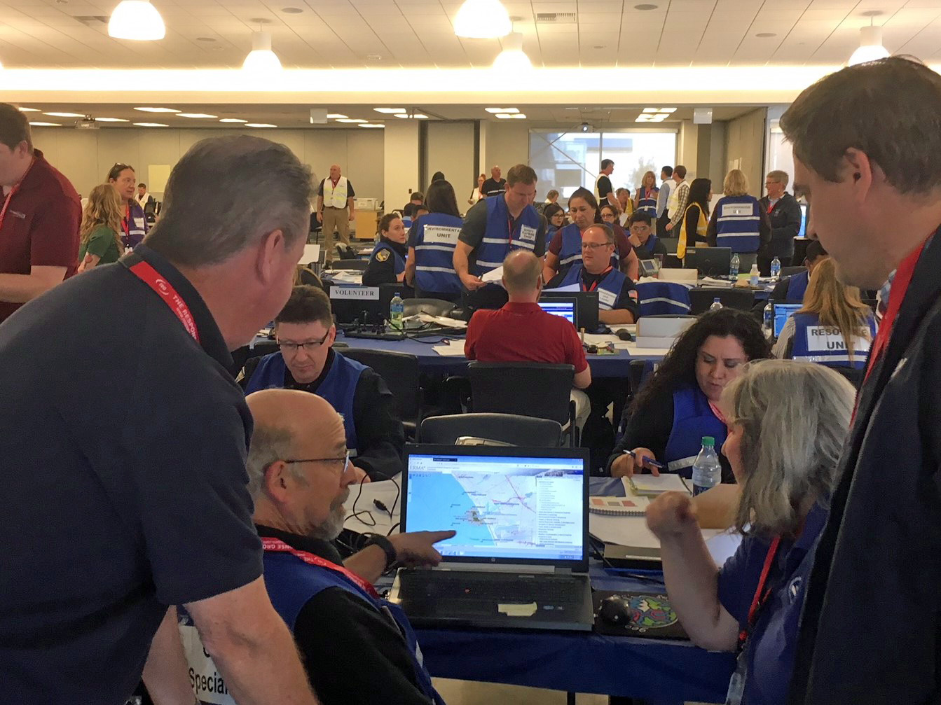
Large-scale Oil Spill Drill in El Segundo, California
MAY 4, 2018 — An industry-led oil spill drill was held the week of April 30 in El Segundo, California, involving the hypothetical collision of a passing vessel with a Chevron oil tanker while it off-loaded crude oil from the offshore marine terminal to the nearby Chevron refinery.

This drill simulated the release of 18,000 barrels (756,000 gallons) of Arabian Light crude oil into nearshore waters of Los Angeles County, threatening coastal waters and shorelines of Marine del Rey and Santa Monica. The U.S. Coast Guard (USCG), California’s Office of Spill Prevention & Response (OSPR), and Chevron led the oil spill cleanup efforts with support from NOAA and numerous other federal, state, and local agencies.
OR&R’ Emergency Response Division provided input on oil fate and transport, the potential use of Applied Response Technologies (ART; dispersants, in-situ burning, etc.), fisheries closures, oiled wildlife response, and other aspects of scientific support to the USCG and others within the cooperative response.
Working in parallel to the containment and cleanup activities, OR&R’ Assessment and Restoration Division participated with Chevron, and state and federal trustees to drill scenarios for Natural Resource Damage Assessment (NRDA). The National Marine Fisheries Service’s Restoration Center participated as part of the NRDA team. The NRDA team developed conceptual models and planned potential sampling and assessment activities that would take place in a real spill, included identifying local expertise and available logistics that would be gathered to collect NRDA data.
In addition, NOAA’s Environmental Response Management Application (ERMA) was used as the agency Common Operating Picture (COP) to depict incident data along with Chevron's COP. Datasets were shared between the two systems via web mapping services and included trajectories, oil and wildlife observations, on-water cleanup, protection of sensitive resources, safety zones, and others for briefings to the Unified Command and to support efficient decision-making in the Environmental Unit and for NRDA activities.
For more information, contact Jordan Stout or Laurie Sullivan.
