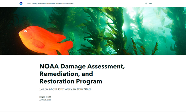
Learn About Our Work in Your State: New DARRP Story Map
JULY 6, 2021 ─ A new ArcGIS Story Map explores NOAA’s Damage Assessment, Remediation, and Restoration (DARRP) Program’s work in each state and territory. This easy-to-use new tool breaks down the $10.5 billion DARRP has recovered from pollution settlements, what resources are benefiting from restoration projects, and where we’re actively working today.

NOAA’s DARRP holds polluters accountable for hazardous waste pollution (Superfund) sites, and ship groundings. These Natural Resource Damage Assessment (NRDA) settlements are then used to fund projects that restore robust fisheries, endangered species, coastal habitats, and outdoor recreation, benefiting local communities, blue economies, and coastal resilience.
Over 30+ Years NOAA and our Co-trustees Have Recovered $10.5 billion from Polluters to Fund Restoration
Learn more about how NOAA’s DARRP works where you live by visiting our new Story Map!
Contact Megan.Ewald@noaa.gov or Tom.Brosnan@noaa.gov for more information.
