OR&R Aerial Remote Sensing Research for Oil Detection Soars at the Coastal Response Research Center
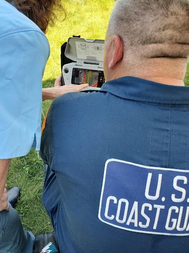
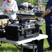
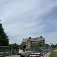
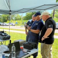
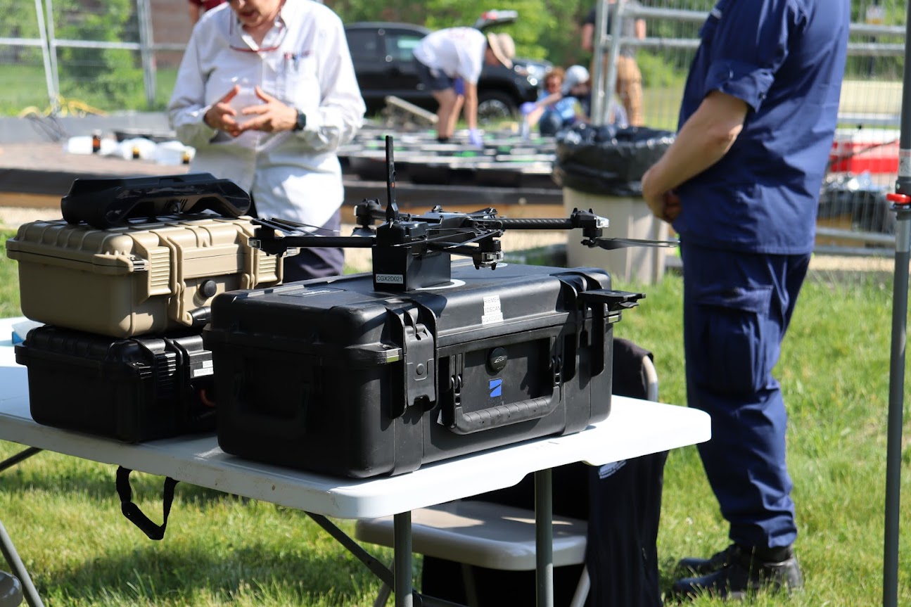
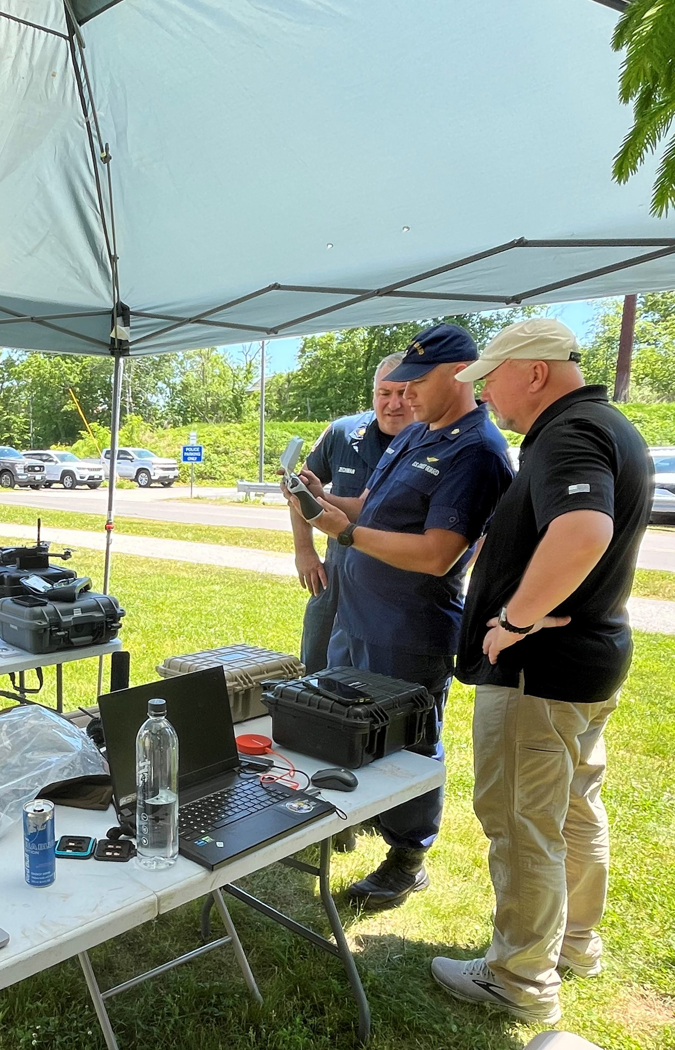
JUNE 17, 2024 — During the first week of June, members from the U.S. Coast Guard (USCG), Coastal Response Research Center (CRRC), New Hampshire Department of Environmental Services, and OR&R joined forces to test remote sensing capabilities for detecting oil slicks on water using uncrewed aerial systems (UAS), commonly referred to as “drones.”
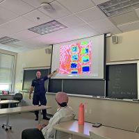
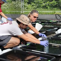
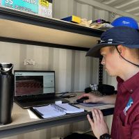
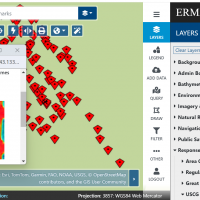
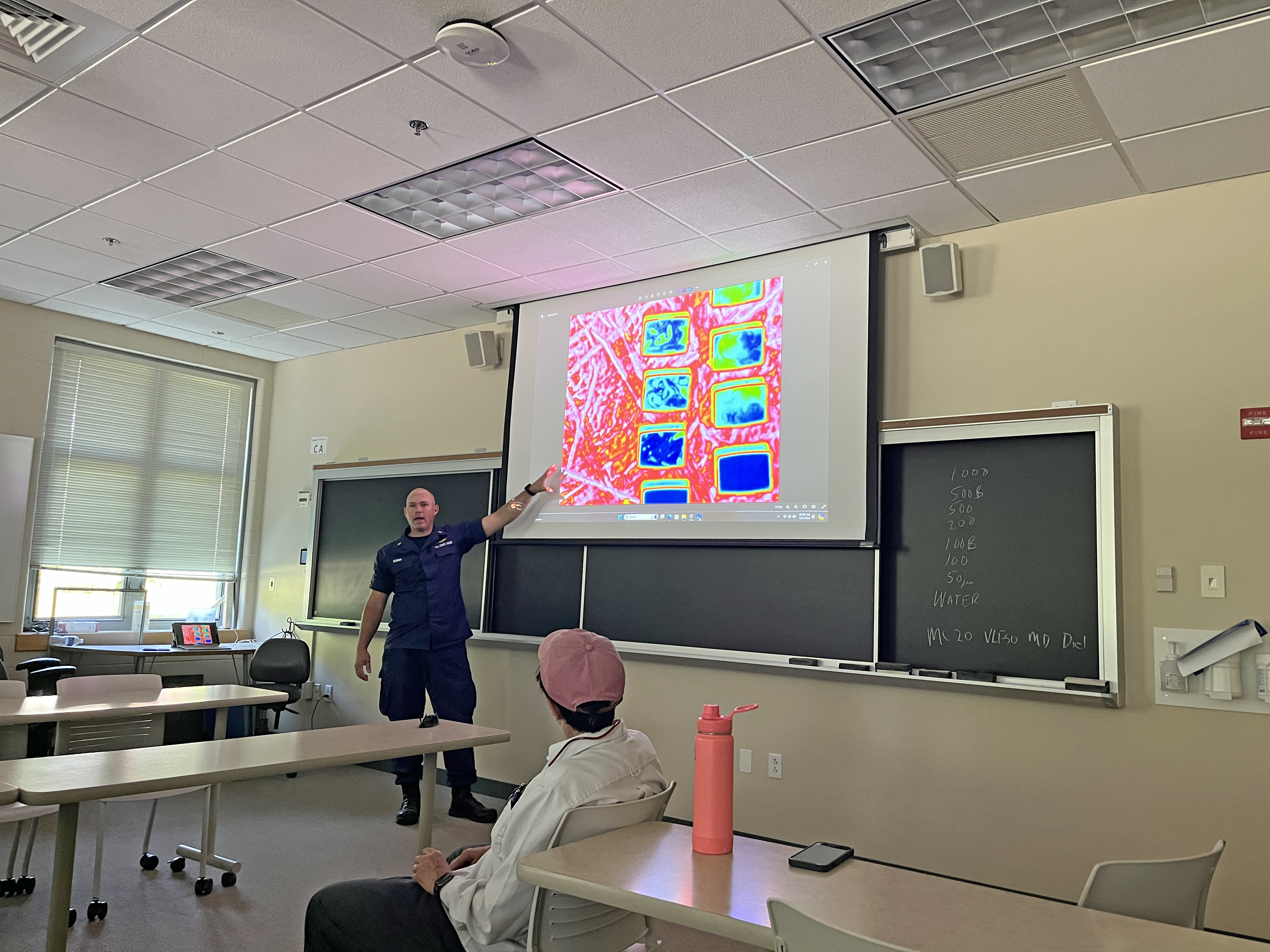
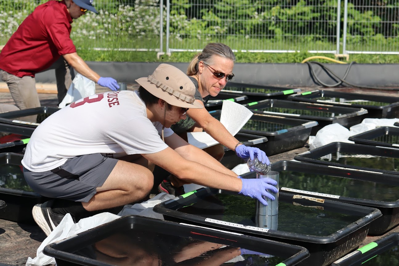
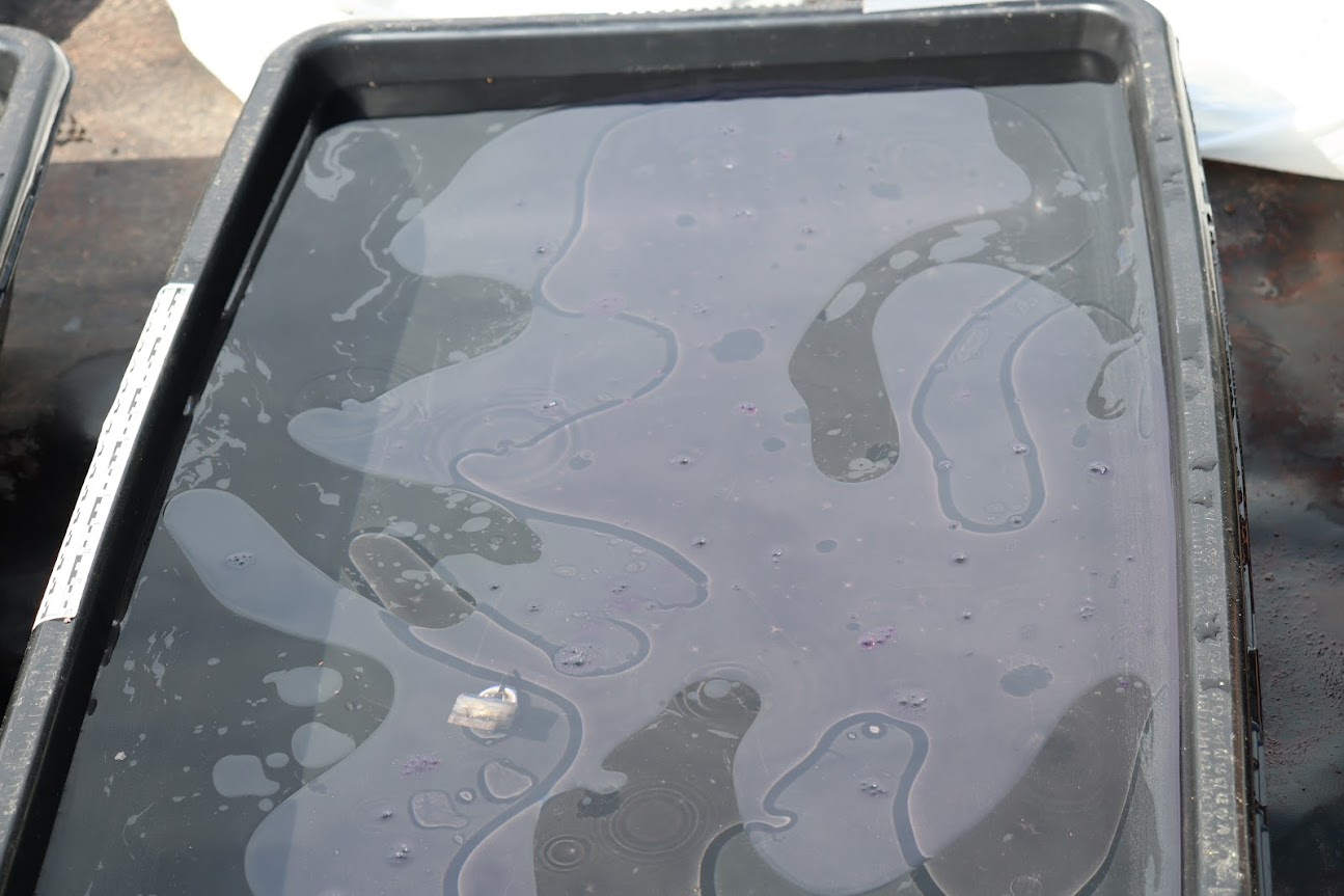
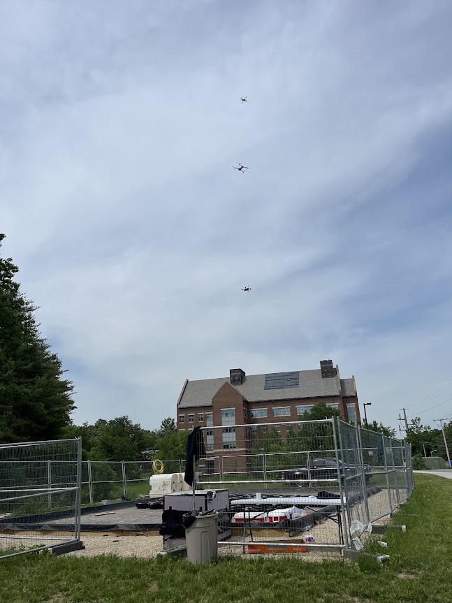
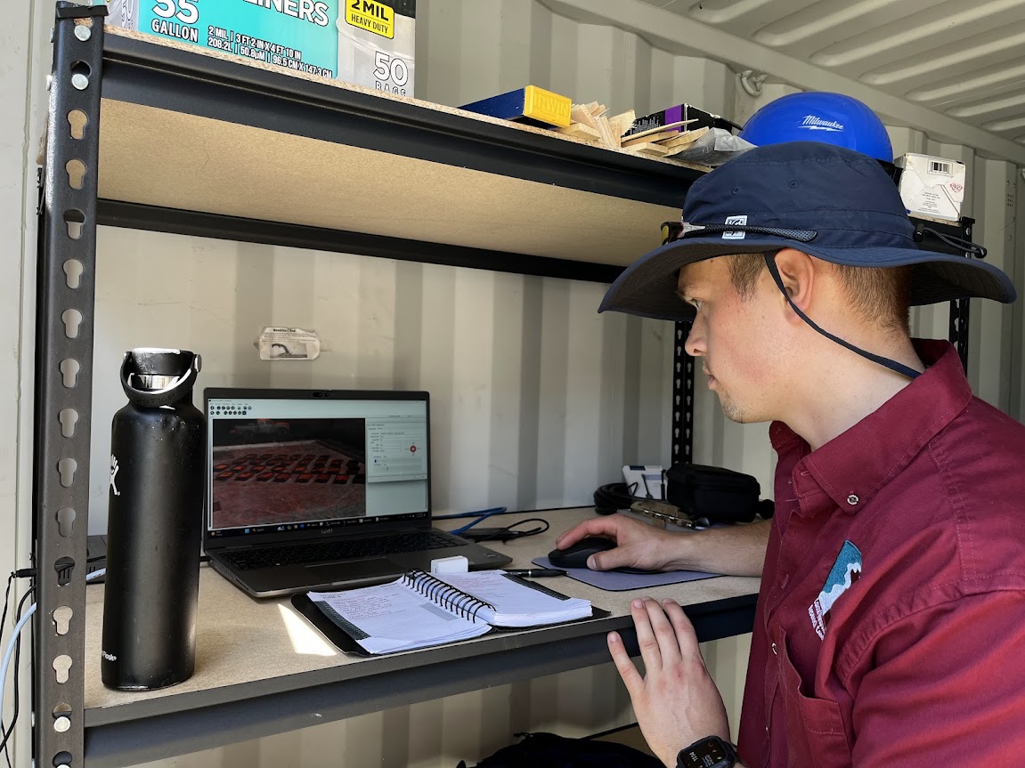
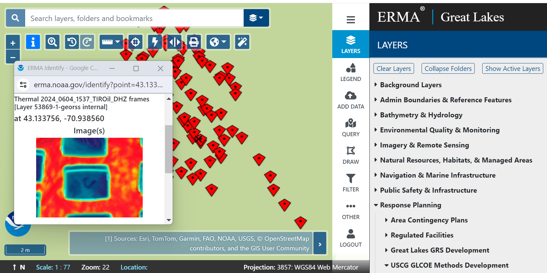
The research project, funded by the USCG Great Lakes Center of Expertise (GLCOE) and facilitated by the CRRC, took place over several days on the campus of the University of New Hampshire in Durham, New Hampshire at the CRRC Facility for Outdoor Remote Testing (FORT). The UAS pilots flew over an array of experimental tanks with differing amounts and types of oil (crude oil, very low sulphur fuel oil, marine diesel, and dielectric fluid) to determine which UAS sensors were best able to “see” the different oil types, better understand what their detection limits were (how thin of a sheen was visible in the imagery collected), and test and develop protocols for rapidly transferring the data collected from the UAS flights into the Environmental Response and Management Application (ERMA®). ERMA is the common operational picture used during oil spill incidents to rapidly display data and information that is critical for responders during spill cleanup and damage assessment.
This project was a testament to the strong collaboration and partnership that advances oil spill response and assessment across OR&R and the spill response community.
more images
 An official website of the United States government.

