An official website of the United States government.
 Home | OR&R Research Projects | 3D Water Column Mapping with the REMUS-600 Autonomous Underwater Vehicle
3D Water Column Mapping with the REMUS-600 Autonomous Underwater Vehicle
Autonomous underwater vehicles (AUVs) present exciting opportunities to measure the extent and type of oil in the water column, especially at deeper depths, during oil spills.
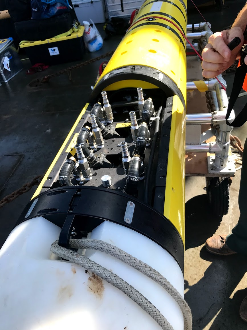
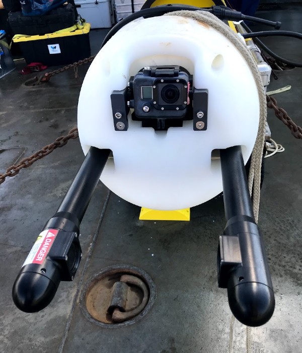
Researchers customized a propeller-driven Remote Environmental Monitoring UnitS (REMUS), specifically a REMUS-600, with a suite of oil sensing tools. These included standard fluorometer and water quality sensors, as well as an innovative holographic camera and water samplers.
The REMUS-600 was then deployed to measure the natural oil seeps off the coast of Santa Barbara, California, for 19 missions over five days, collecting oil droplet and/or gas bubble number, size distribution, and total volume data. At the same time satellites, overflights, and researchers on the water collected samples to validate these measurements.
This study demonstrated how AUVs can provide important information in the detection and characterization of oil in the water column.
Why is this Research Important?
When used in conjunction with overflight and satellite technologies, AUVs could allow scientists to measure oil spills more efficiently and in new ways. These data could improve the understanding of oil movement as it rises to the surface, and improve estimates of oil quantity.
To Learn More Visit:
Bureau of Safety and Environmental Enforcement (BSEE) Report: Three-Dimensional Mapping of Dissolved Hydrocarbons and Oil Droplets Using a REMUS-600 Autonomous Underwater Vehicle.
Partners
Status