OR&R Responds to Hurricane Ian Destruction

OCT. 18, 2022 — Since Sept. 26, 2022, pollution support teams from NOAA’s Office of Response and Restoration have been responding to and initiating recovery efforts in Florida and South Carolina for Hurricane Ian—a storm that left a path of destruction with damaging winds, severe flooding, and life-threatening storm surge.
Prior to the arrival of Hurricane Ian in Florida, OR&R’s Emergency Response Division embedded a NOAA scientific support coordinator in the U.S. Coast Guard Area Command in Miami, Florida, to pre-identify natural resources that would be sensitive to debris and pollution. (The Area Command oversaw operations for all Coast Guard units throughout Ian's impact area from Florida through South Carolina.)
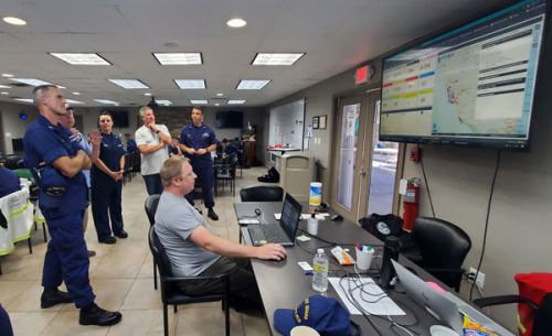
Currently, OR&R is tasked with supporting the Coast Guard’s post-disaster pollution assessment as part of the Hurricane Ian Marine Environmental Response Incident Management Team, primarily based in the U.S. Coast Guard Sector St. Petersburg Federal On-Scene Coordinator Zone. The objective of this assessment is to identify locations of oil and hazardous material releases or debris posing threats to life, safety, the environment, and/or maritime transportation systems, and to provide, update, and maintain that data.
“Operations to address all pollution sources will take time, however, the first phase is well underway to identify potential pollution sources and activate systems that connect data from field investigations to the overall operations picture,” OR&R Director Scott Lundgren said. “The extreme winds and storm surge from the hurricane caused widespread damage, and there are many reports of displaced, overturned, and capsized vessels that may spill oil or chemicals. Our initial data helps direct the field teams to the areas with the greatest need and provides the systems and connections to systematically assess and track actions needed to mitigate pollution.”

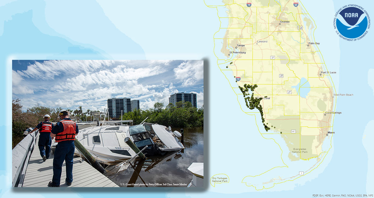
Even before roads and waterways are cleared and field teams can reach marinas and shorelines to assess impacts, NOAA uses damage assessment imagery produced by NOAA’s National Geodetic Survey to identify potential pollution sources, such as displaced vessels and containers.
After a hurricane, NOAA and other agencies have limited time and resources to identify the hazards from displaced boats, other sources of oil and chemical pollution, and marine debris, so it's important to prioritize those that pose the greatest threat. Assessing, removing, and disposing of these targets requires significant financial and technical resources.
The OR&R support team assessed an area of approximately 2,215 square miles in three counties, equating to approximately 277 square miles/day, identifying thousands of potential sources of pollution.
“OR&R has now completed its imagery assessment—a monumental task that was accomplished in record time—which will greatly assist the Coast Guard and the State of Florida in documenting owners of displaced vessels and conducting operations to protect the environment,” said Coast Guard Cdr. Melanie Burnham, incident commander for the marine environmental response. “Our work is one part of a far broader, whole-community team approach that crosses all levels of government and sectors of society. We will continue to collaborate on response and recovery efforts in the aftermath of Hurricane Ian.”
The imagery has been incorporated into OR&R’s online mapping tool, ERMA® (Environmental Response Management Application). ERMA is available for all federal and state agencies involved in the response to view the most up-to-date assessment data (mapped pollution targets, assessment details, photographs, and needed actions.).
In its recovery efforts, the OR&R Disaster Preparedness Program coordinates the cross-NOAA staff effort for long-term recovery missions initiated by FEMA, supporting economic recovery, natural and cultural resources, and community planning and capacity building. This effort is in its very early stages and may take years to complete. For reference, NOAA’s formal technical assistance to the 2017 Hurricane Maria recovery work in Puerto Rico just concluded in September 2022.
