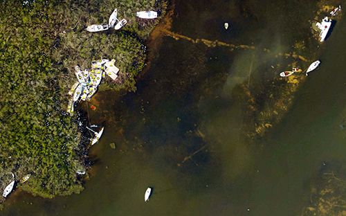
OR&R’s Pollution Response Following Hurricane Irma
September 15, 2017--NOAA's Office of Response and Restoration (OR&R) continues to provide remote and on-scene support in the aftermath of Hurricane Irma in cooperation with partners such as the U.S. Coast Guard, U.S. Environmental Protection Agency (EPA), as well as other federal and state agencies.
Areas of focus are Florida, where OR&R staff is on-scene and the U.S. Virgin Islands, where OR&R staff is prepared to go on-scene. [Update 09.18.17: Deployment to U.S. Virgin Islands was delayed by Hurricane Maria, which is expected to hit that region mid-week.] Information is being collected on marine debris, including that of grounded vessels.
ERMA®, the NOAA Environmental Response Management Application, is an online mapping tool that integrates both static and real-time data. Aerial imagery from NOAA National Geodetic Survey (NGS) flight missions over the affected areas is being added to ERMA Gulf of Mexico and Caribbean ERMA as soon as it is available. Additional data and analysis are added to ERMA as requested.
For further information:
 An official website of the United States government.
