OR&R Supporting Response to Sargassum in St. Croix, U.S. Virgin Islands
AUG. 22, 2022 — On July 27, 2022, the Federal Emergency Management Agency requested NOAA scientific support for a declared emergency on St. Croix in the U.S. Virgin Islands due to impacts on the island’s water supply from high concentrations of sargassum.
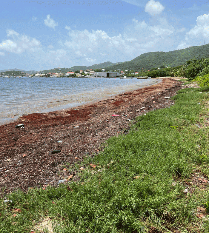
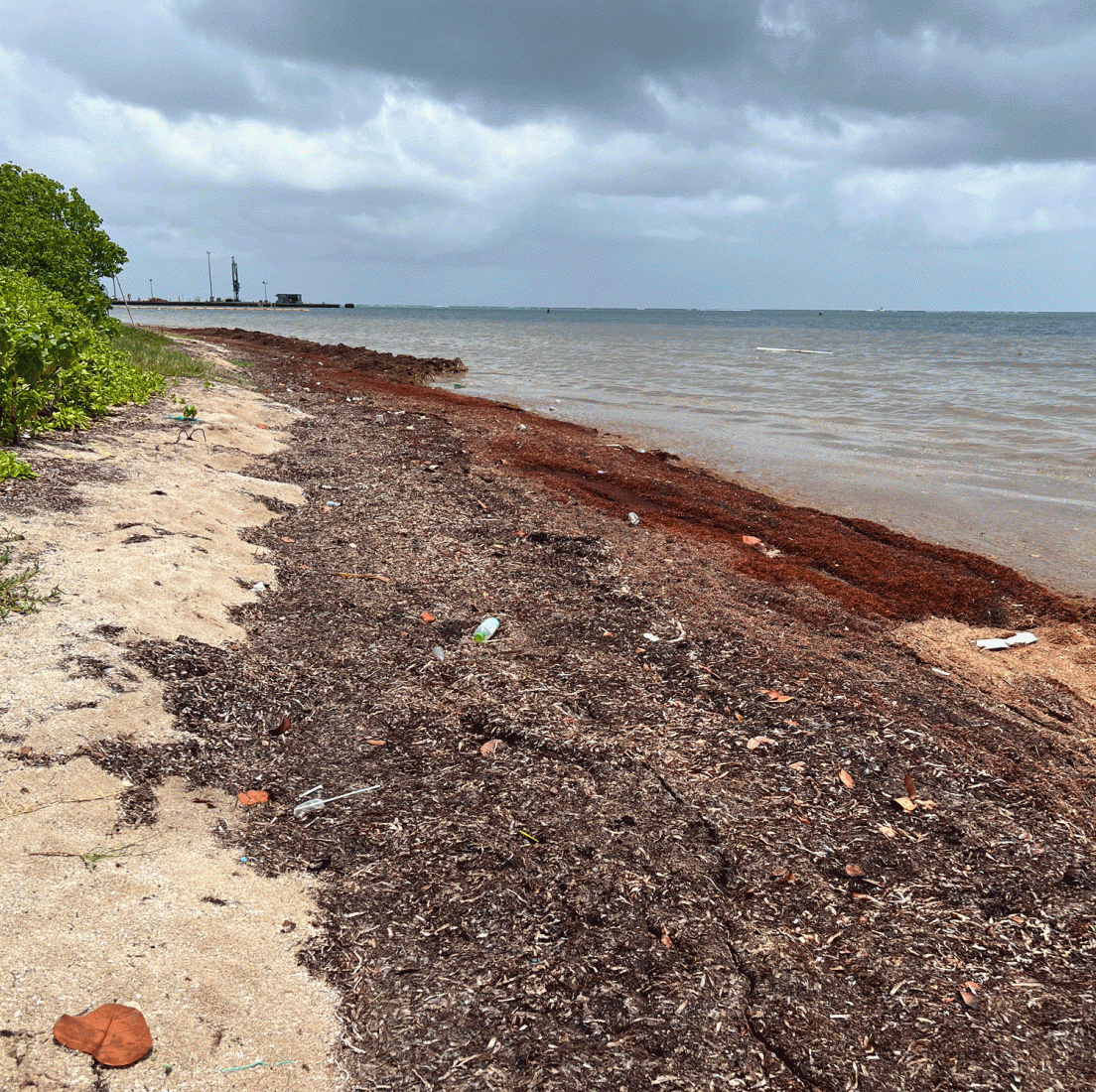
Sargassum is a large brown seaweed (a type of algae) that spends its life on the ocean's surface and floats in large masses without attaching to the seafloor. Sargassum is widespread, variable, and abundant seasonally in the tropical Atlantic, but an unusually large influx of the material on the island’s shores had begun affecting the desalination plant that is St. Croix’s primary source of water.
Immediate emergency response actions were taken to clean and clear the area near the desalination plant's water intake. Federal partners continue to support the development of longer term actions and planning to address the issue effectively in the future.
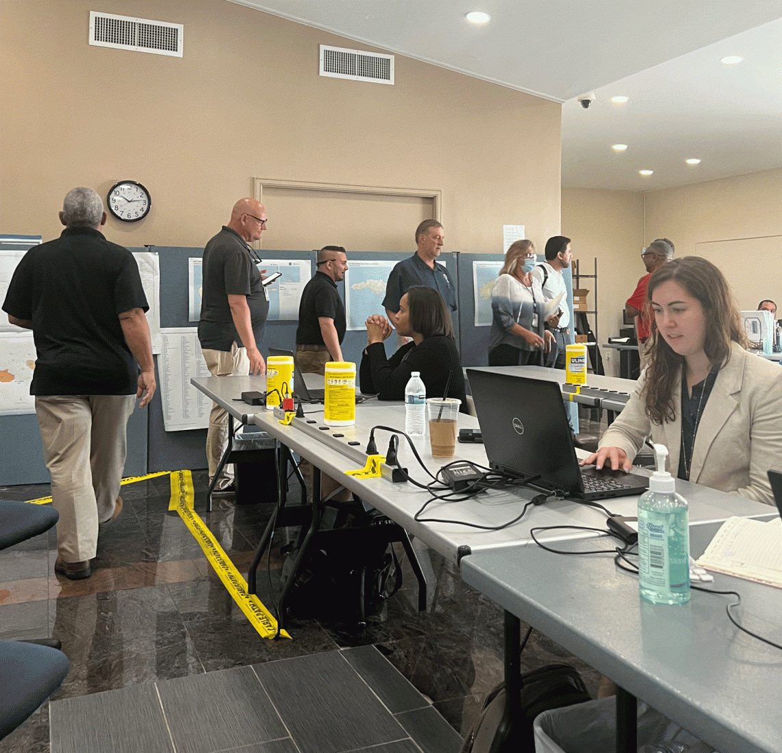
OR&R Scientific Support Coordinator Brad Benggio was on scene for 10 days, providing scientific expertise and coordinating with NOAA's Atlantic Oceanographic & Meteorological Laboratory in Miami. The lab has utilized their sargassum distribution and inundation products to develop more focused and specific trajectory forecasts to support this response, as well as better long-term forecast and threat analyses.
The response team is also exploring the use of drifters to help validate sargassum drift predictions and better characterize the circulation and winds that are bringing the material ashore. Brad proposed that natural collection sites identified in the Area Contingency Plan be considered for continued planning, as well as identifying priority receptor sites of concern—such as water intakes, high concentration turtle nesting beaches, etc.—so that statistical modeling may help indicate when those areas could be at high risk from high sargassum inundation and concentration.
FEMA is utilizing civil air patrol-obtained photos and reports, which NOAA can access and analyze to also help with drift forecasts and threat analysis. The NOAA National Environmental Satellite, Data, and Information Service has been contacted to provide focused and larger scale imagery for the region to help show sargassum locations that may affect the St. Croix area. NOAA is also coordinating with the Department of the Interior and the U.S. Fish and Wildlife Service to assess risks to protected species (primarily sea turtles and manatees).
The longer term response will focus on the desire to improve and utilize NOAA tracking and forecast products for sargassum, enhance coordination with French models and forecasts that may be useful, and engineering an initiative to better protect the water intake from future sargassum events.
As sargassum issues continue to increase in the area, response tactics used in this incident may support future response and prevention efforts.
more images
