OR&R Supports Oil Spill Mapping Training for Coast Guard Uncrewed Aircraft Systems Pilots
August 14, 2023 – In late July, OR&R partnered with the U.S. Coast Guard (USCG) and the Coastal Response Research Center to provide on-land and on-water training to USCG’s Uncrewed Aircraft Systems (UAS) pilots to strengthen oil spill response.
In the event of an oil incident, the USCG’s UAS pilots are often the first responders on the scene. During this first response, it is critical that the pilots can accurately document the initial conditions of the incident, such as the location, extent, and severity of the oiling event to support additional response, damage assessment, remediation activities (like recovering the oil), and potential future environmental litigation.
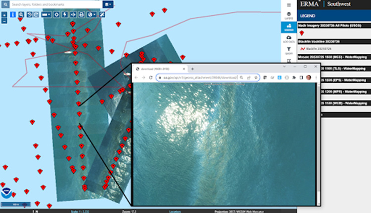
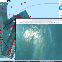
To ensure this information is conveyed accurately and quickly to on-the-ground responders, there is a critical three-step process. First, the UAS pilots must precisely map and photograph the oiling event using an Uncrewed Aircraft System (also called a drone). Second, the UAS pilots must load the data into NOAA’s incident response and support tool called Data Integration, Visualization, Exploration, and Reporting (DIVER), which can collect and store field data in a standardized format. Third, this data must be integrated into OR&R’s Environmental Response Management Application (ERMAⓇ), an online mapping tool that can incorporate real-time data about environmental conditions and display spatial data in a Geographic Information System (GIS) Map. ERMA is the common operating picture (COP) used by responders in the command post during the response to understand where the oil is and where to deploy response assets for cleanup. Ideally data and images collected by the UAS pilots can be ‘stitched together’ to create an orthomosaic map, which shows where the oil is in one collective image.
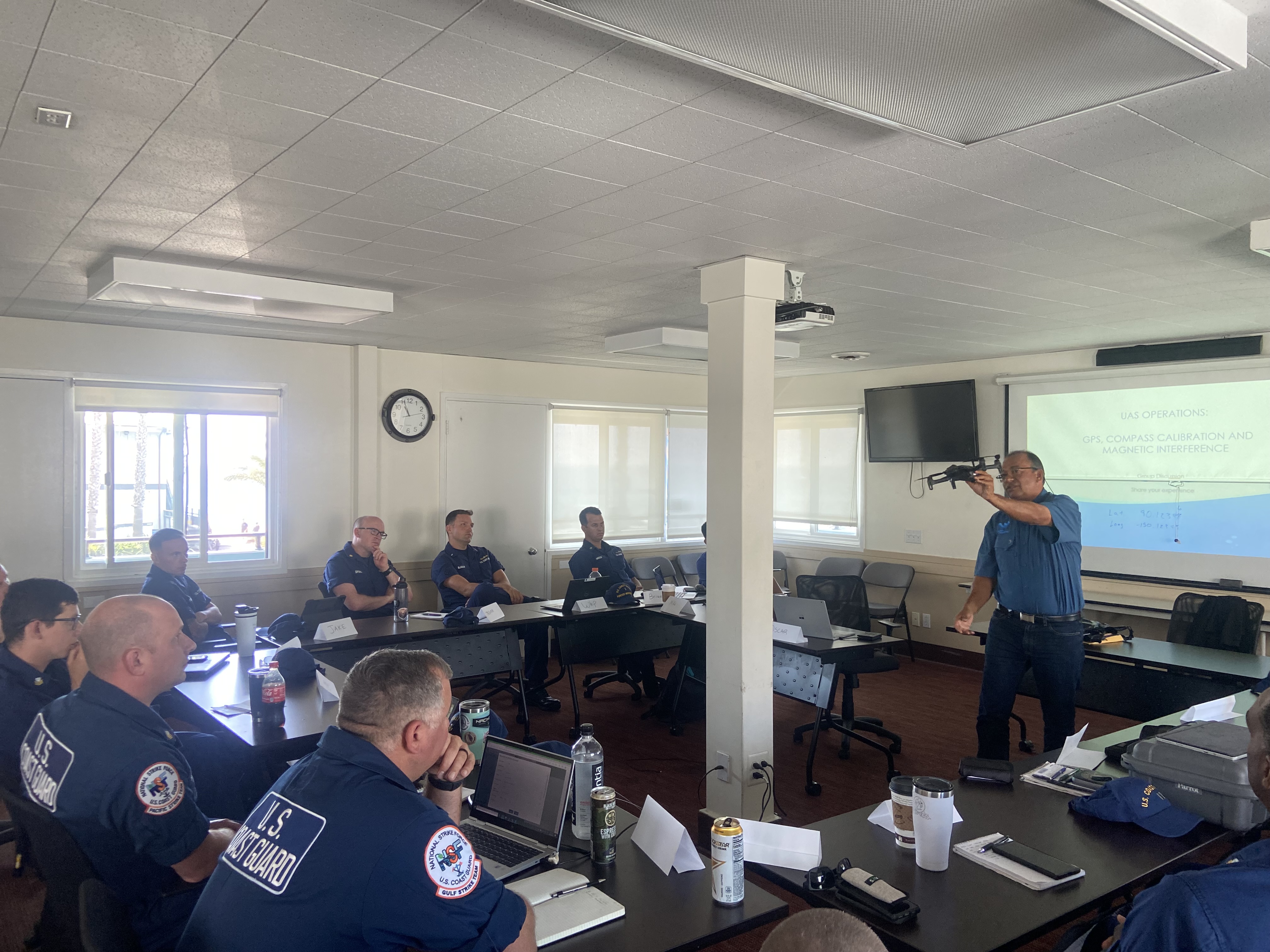
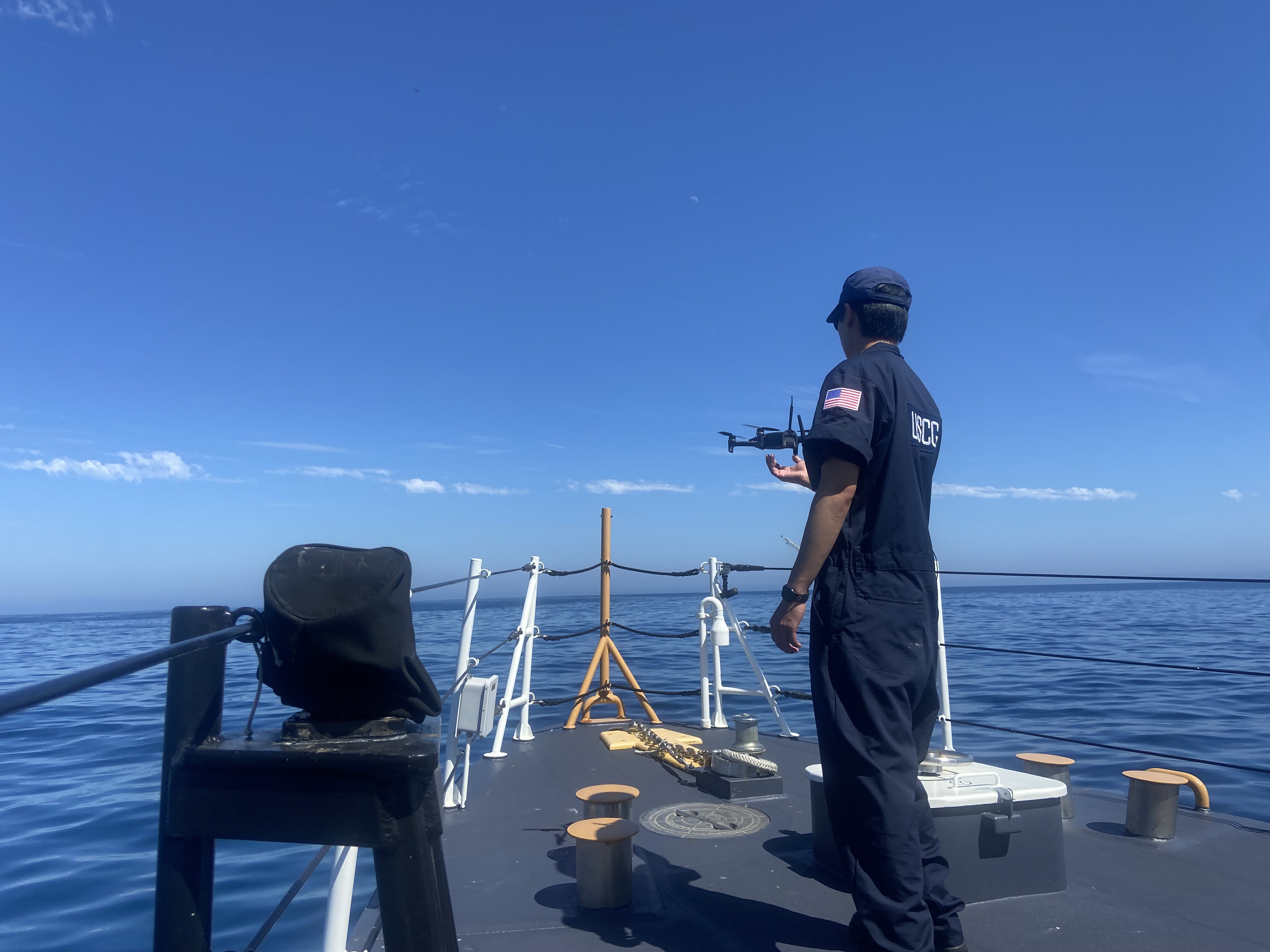
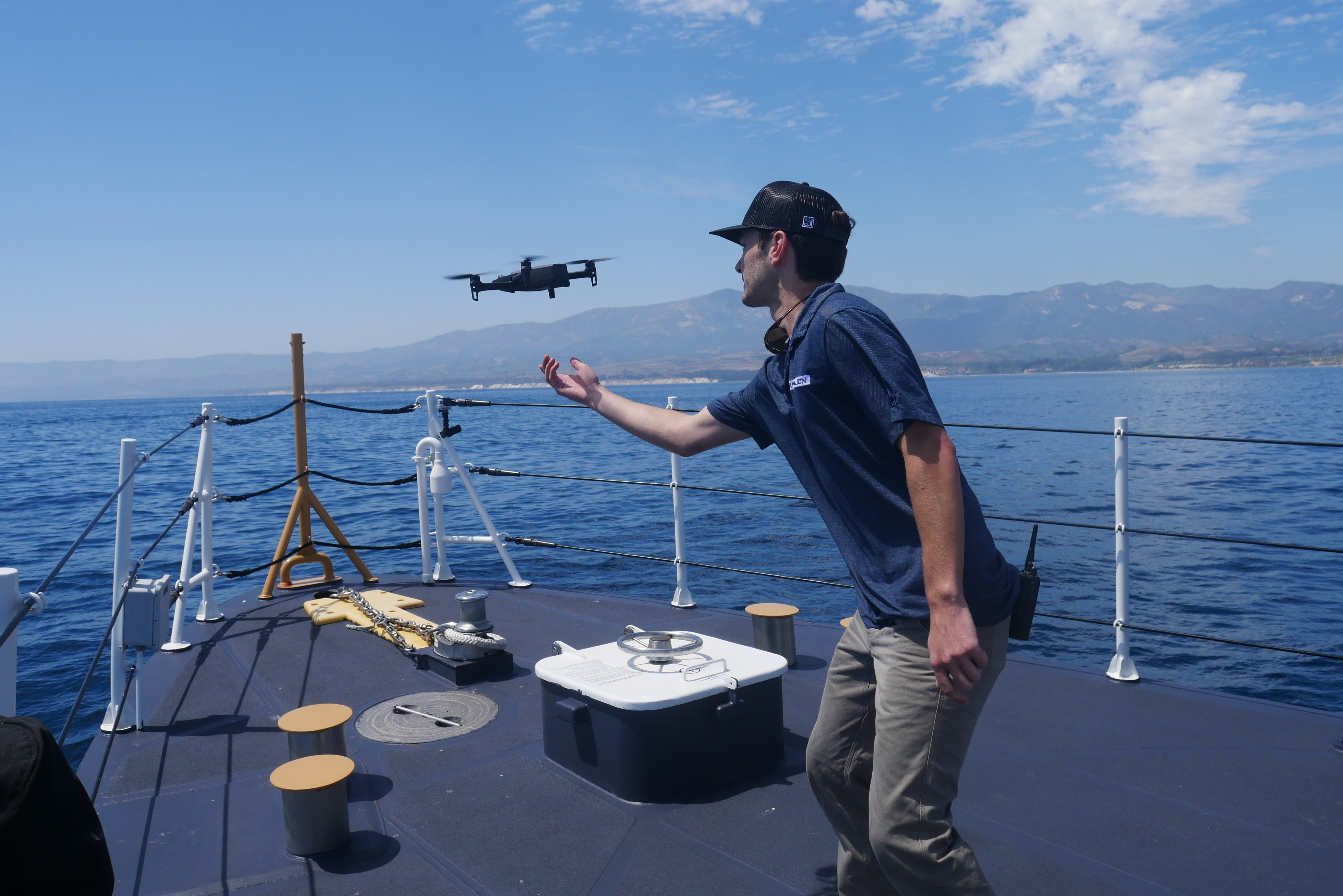
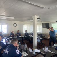
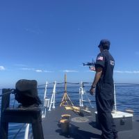
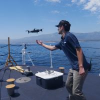
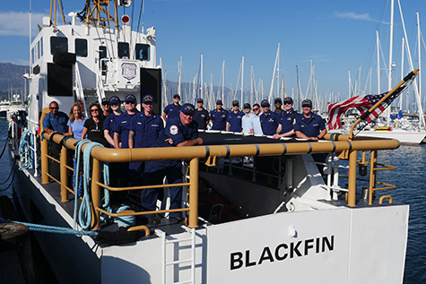
The project, funded by the Great Lakes National Center of Expertise, set out to train USCG’s UAS pilots on this process. Water Mapping, LLC. led the training, beginning day one with ground school for all pilots and flight checks on land. A team of 14 USCG pilots and two support pilots from the Couvillion Group underwent five hours of classroom instruction and four more hours of flight testing of their drones over a reservoir. Their practice consisted of launching and landing their drones safely, flying the drones along a transect, toggling between different visual imagery (such as thermal imagery), and capturing photos and videos. On day two, three, and four, teams of five or more pilots went aboard the USCG Cutter Blackfin into the natural oil seeps off of the coast of Santa Barbara, and proceeded with their test flights to document surface oiling conditions. Using drone-mounted visual and thermal sensors, the pilots were able to capture geotagged photos and videos to track the oil slick.The pilots then practiced uploading their data into DIVER and the ERMA COP, which allowed them to create georeferenced maps that displayed the oiling conditions along a landscape All of this was conducted while the vessel was operating offshore.
Capturing and delivering oiling data in near real time, rather than at the end of a long day offshore enables better responses under the rapidly changing conditions of an oil spill. All pilots are now equipped and prepared to effectively use drones to provide eyes on the ground for responders, quickly, safely, and efficiently. This work directly enables responders and decision makers to minimize environmental impact and respond accordingly to future incidents.
more images
