OR&R's Data Management and Query Tools Developed for the Deepwater Horizon NRDA
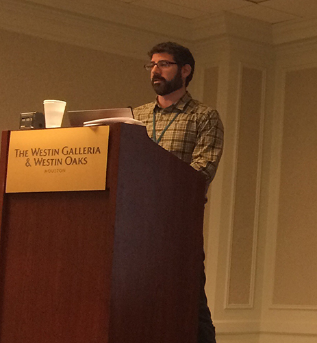
JUNE 14, 2019 — Ben Shorr, OR&R Physical Scientist with the Assessment and Restoration Division’s Spatial Data Branch, presented on NOAA’s data management and query tools developed and used for the Deepwater Horizon Natural Resource Damage Assessment (NRDA) at the Gulf of Mexico Oil Spill and Ecosystem Science conference in Houston, TX.

The presentation covered the evolution of NRDA data management and informatics supporting ecosystem sciences including collection of field and lab data, data storage using data warehousing techniques, and custom query and export tools. Highlights included descriptions of the cross-discipline data models the team has developed, which makes possible relating results and findings to source information, including scanned field notes and sampling forms.
The suite of tools are part of the DIVER (Data Integration, Visualization, Exploration, and Reporting) application, which supports NRDA Trustees data management and querying and exports of validated data for public access through NOAA’s Gulf Spill Restoration website. OR&R’s Dr. Amy Merten co-chaired the session. As NOAA’s Chief Scientist Dr. Rick Spinrad noted in his keynote speech, the DIVER application will soon be publicly available for accessing validated Deepwater Horizon NRDA data.
For further information, contact Benjamin.Shorr@noaa.gov. Go back to OR&R Weekly Report.
