Pacific Northwest ERMA
Visit Pacific Northwest ERMA to visualize data and explore the region.
Introduction
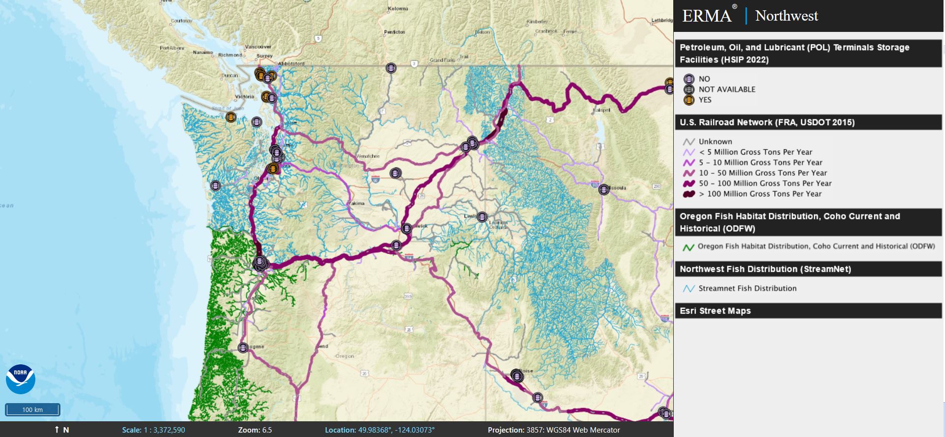
The Pacific Northwest region encompasses Oregon and Washington State and is known for its mountain ranges, estuaries, and rocky shorelines that give way to an underwater landscape supporting a diverse web of species, from iconic orca and salmon to microscopic algae. This region also faces challenges like industrial pollution, oil spills, and natural disasters like tsunamis that threaten these resources. Pacific Northwest ERMA is an online mapping tool that allows stakeholders and communities to visualize ecological, land use, and infrastructure data in one centralized location. Emergency planners rely upon ERMA to help prepare and respond to environmental pollution incidents, then track restoration progress across the Pacific Northwest.
Emergency Response
- ERMA incorporates the latest Geographic Response Plans for Washington and Oregon. These data cover the coastal regions and inland areas that could be affected by oil-by-rail incidents, allowing critical information about the locations of equipment, trained personal, and sensitive habitats to be accessed quickly in case of an emergency.
- Pacific Northwest ERMA is also used for emergency preparedness and response training activities in the region. Ensuring that environmental experts are familiar with and comfortable using ERMA and other tools in advance of an emergency is a critical component of disaster preparedness.
Restoration
- ERMA also supports Natural Resource Damage Assessments (NRDA) cases in coastal areas affected by industrial pollution. It provides a common platform to share and display data among federal, state, tribal, and local partners and guide assessment efforts.
- Pacific Northwest ERMA has provided essential environmental quality and monitoring data for injury assessment and restoration planning in the Duwamish River, Lower Willamette River, and Puget Sound.
- Pacific Northwest ERMA grew out of an effort working on Washington's Puget Sound in support of NOAA's Climate Assessment and Proactive Response Initiative (CAPRI). CAPRI links contaminant sources, climate scenarios, and vulnerability assessments to help mitigate and adapt to climate change-related contaminant impacts.
more images

 An official website of the United States government.


