Arctic ERMA
Visit Arctic ERMA to visualize data and explore the region.
ERMA in the Arctic
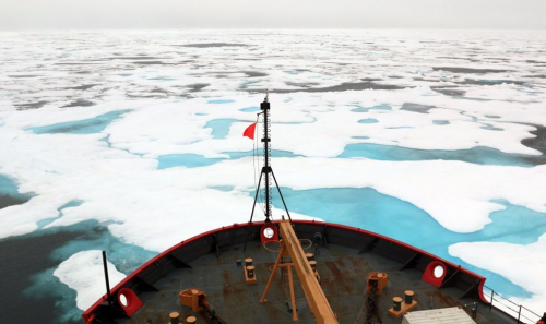
As Arctic warms and sea ice contracts and thins, activities including vessel transportation, energy exploration, and tourism activities are increasing. As human presence increases, so does the risk of oil spills. NOAA’s ERMA is a critical tool for equipping responders to prepare for, respond to, and assess the impacts of environmental disasters in this remote region. In addition to working with Federal and State partners, NOAA also works with indigenous communities to learn how ERMA can best be used to protect the natural resources and unique lifestyle of the region.
ERMA and Emergency Response
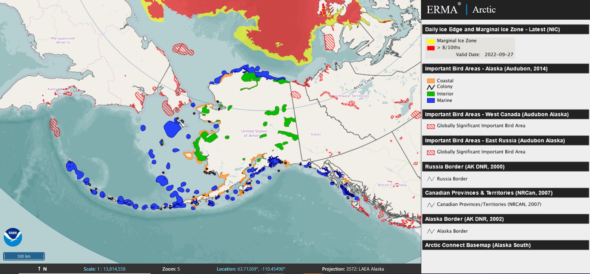
- ERMA brings together information like the extent and concentration of sea ice, port and pipeline locations, and sensitive habitats, into one online tool. This allows experts to access data quickly and efficiently in the event of disasters like oil spills.
- ERMA integrates real-time data (like weather and ice radar) with static data (like port locations) into a single interactive map. This allows experts to visualize evolving situations on-the-ground to protect human life, property, and the environment.
- Arctic ERMA can be used as a tool for collaboration among Arctic nations for planning and emergency response actions. Data from Canada, Russia and Norway are available and can be viewed in a variety of regionally-specific polar projections.
ERMA and Environmental Restoration
- When disasters like oil spills strike, you need to have a solid understanding of how the environment was before to calculate what the damages are after. This process of Natural Resource Damage Assessment is how NOAA and our co-trustees reach agreements with those responsible for pollution to fund restoration.
- Arctic ERMA stores data like critical habitats for Arctic cod, the locations and times of year protected marine mammals like belugas and humpback whales can be found, and locations and contact information for trained personnel that is critical to guide assessment and restoration.
- NOAA uses Arctic ERMA to assess natural resources at risk from pollution, plan for and track injury assessment, and determine appropriate restoration in the event of an oil or chemical spill.
more images

 An official website of the United States government.


