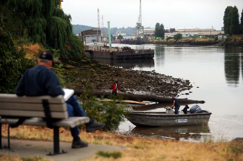
Story Map: The Lower Duwamish River, Passageway for Fish and Industry
A new story map about the Lower Duwamish River Superfund site in Seattle is now live and available to the public.
The Duwamish River has been a hazardous waste site since the mid-1900s. Though it was once a wide, meandering river with large areas of mudflats and marshes, by the 1940s the 9-mile estuary had transformed into a 5-mile industrial waterway — destroying 97% of the original habitat.
The river is still highly developed, with many industrial and commercial facilities lining its banks. Hazardous substances have been released since the early 1900s, resulting in injuries to fish, birds, wildlife, and their habitats.
Cleanup operations for the river are ongoing, and will continue for many years. Though the cleanup is not yet over, NOAA and its various partners in government and industry have already begun working on restoration efforts to compensate for the lost natural resources.
To help tell the story of this important urban river — from its polluted history to the restoration projects that promise a cleaner future — OR&R, with help from last year's summer intern Kavya Varkey, has put together a new story map. To learn more, view the new story map here.
 An official website of the United States government.
