Atlantic ERMA and the Sandy Response
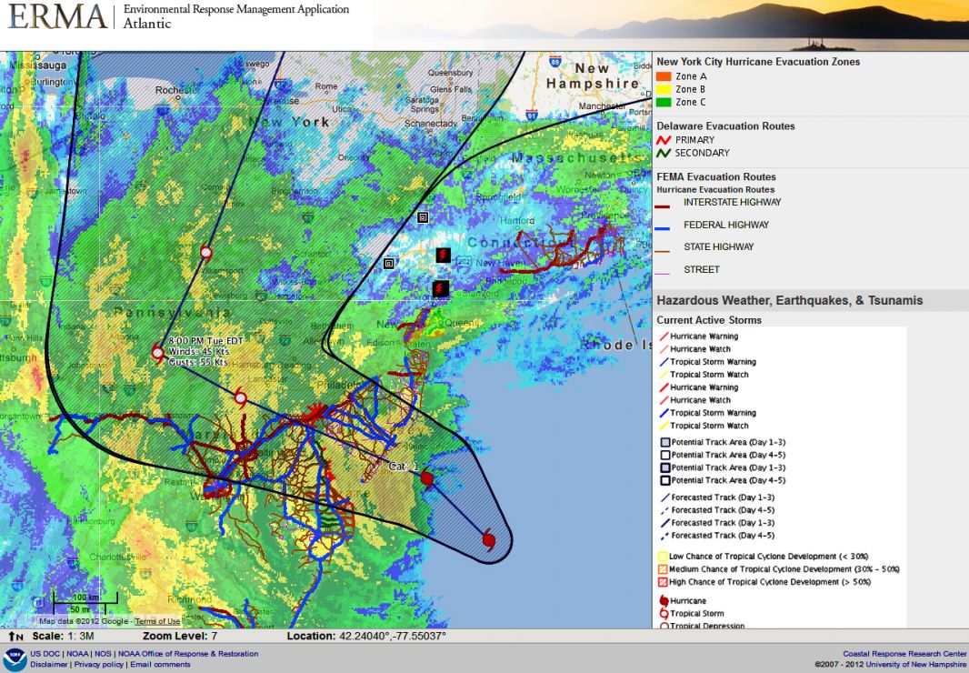
Sandy Making Landfall
A screen shot from Atlantic ERMA shows the track of Sandy as it approached landfall in New Jersey. Map shows evacuation zones, real time road closures and weather warnings.
Credit: NOAA
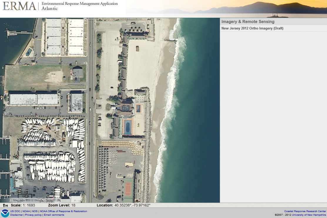
Sandy Hook, N.J.: Before the Storm
Aerial photography from 2012 Orthoimagery of the Atlantic coast near Sandy Hook, N.J., before Sandy made landfall.
Credit: NOAA
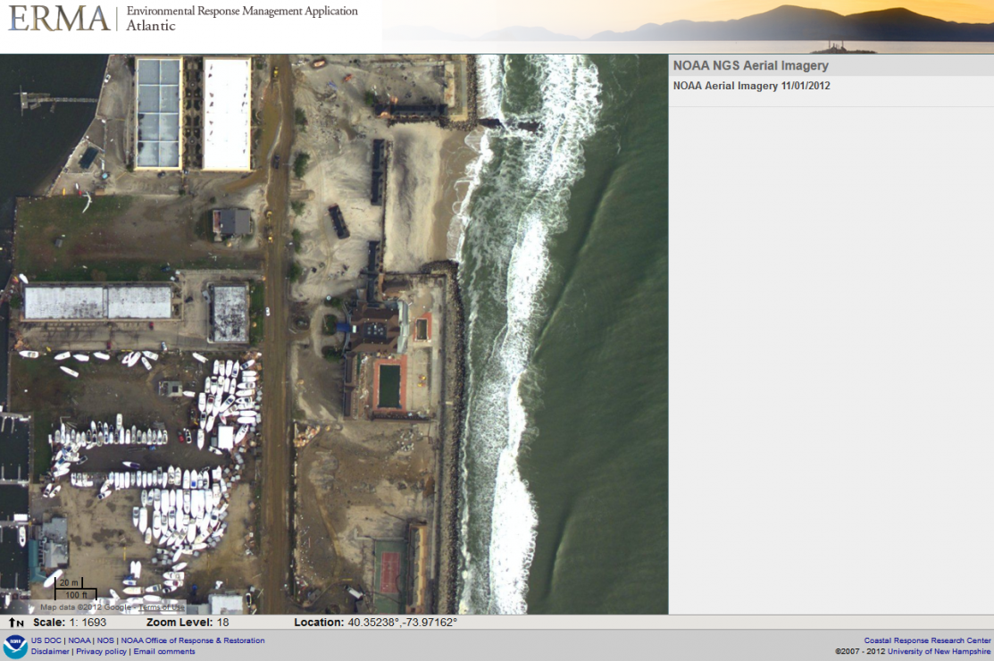
Sandy Hook, N.J.: After the Storm
NOAA National Geodetic Survey aerial photography of the same section of Atlantic coast near Sandy Hook, N.J., after Sandy made landfall. Note the obvious the beach erosion and building damage.
Credit: NOAA
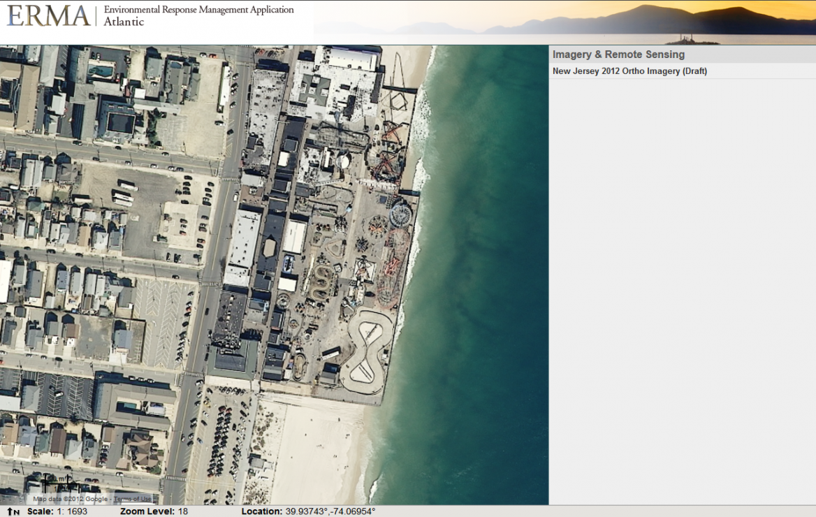
Funtown Pier Amusement Park, N.J.: Before the Storm
This 2012 Orthoimagery aerial photography shows the Funtown Pier Amusement Park in Seaside Heights, N.J., before Sandy made landfall.
Credit: NOAA
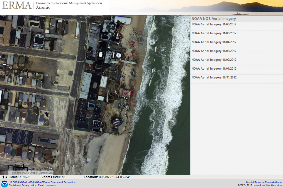
Funtown Pier Amusement Park, N.J.: After the Storm
NOAA National Geodetic Survey aerial photography showing Funtown Pier Amusement Park in Seaside Heights, N.J., after Sandy made landfall.
Credit: NOAA
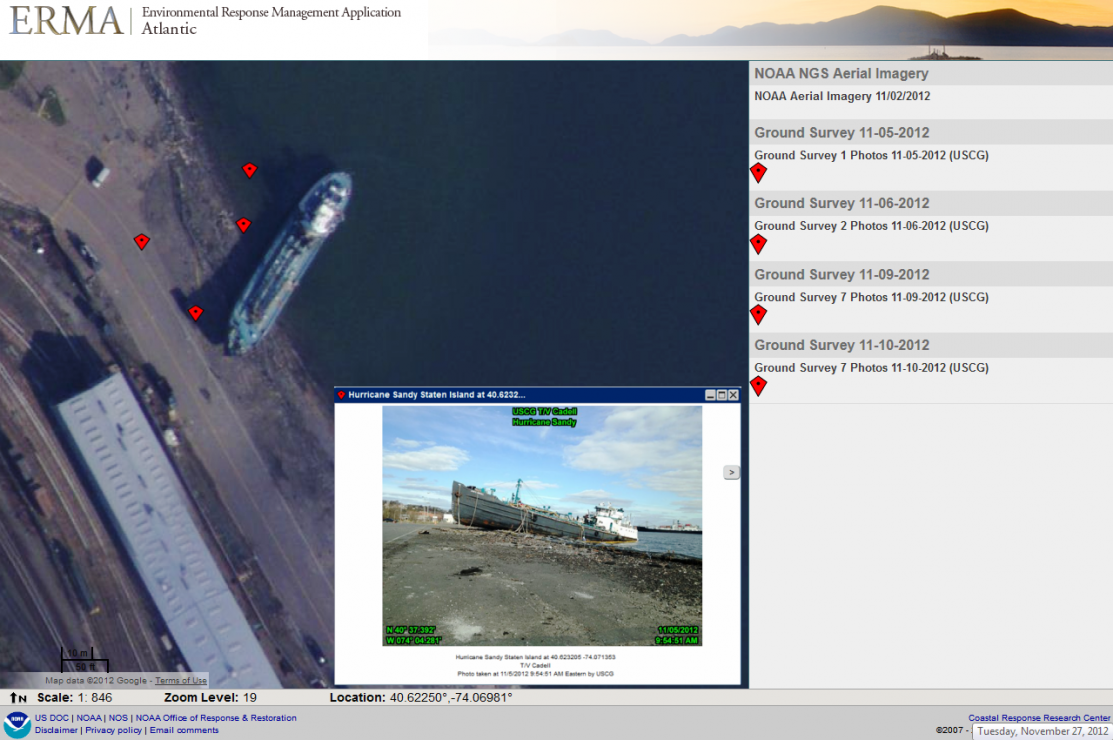
Post-Sandy Damage: T/V Caddell
NOAA National Geodetic Survey aerial photography showing the derelict tanker John B. Caddell grounded on Staten Island, N.Y., following Sandy. The T/V John B. Caddell is one of the Coast Guard targets for pollution mitigation. Red markers show field photos such as the image seen in the pop-up window in Atlantic ERMA.
Credit: NOAA
Field Photo of T/V John B. Caddell Grounded on Staten Island, N.Y.
U.S. Coast Guard field photo showing the T/V John B. Caddell grounded on the shoreline of Staten Island, N.Y., following Post Tropical Cyclone Sandy.
Credit: NOAA
 An official website of the United States government. Here's how you know we're official.


