DIVER, OR&R’s data management application, and ERMA, our mapping tool for environmental responders, both saw a growth in data and usage.
In 2019, OR&R trained over 500 staff from federal agencies, 18 coastal states, industry, nongovernmental organizations, and international partners on how to use ERMA to prepare for disasters and assess their impacts. ERMA has over 1,800 active users and hosted more than 35,000 sessions for emergency responders this year. In addition, 2,000 data layers (over 500 public), were added to support response activities.
DIVER is an enormous electronic warehouse that stores and shares environmental data with partners, researchers, and the public. DIVER has over 700 user accounts from federal, state, and tribal governments and academia. This year nearly 2,000 new data sets were uploaded to support pollution cases. What started as a tool for the Deepwater Horizon spill evolved to contain millions of field samples and data sets for work across OR&R and is also used to meet Freedom of Information (FOIA) requests.
 An official website of the United States government. Here's how you know we're official.

_2.jpg?itok=FW9cnf9a "A large vessel overturned during Hurricane Michael, which hit Florida on Oct. 10, 2018. Image credit: NOAA.")
_2-responsive.jpg)

-responsive.jpg)


-responseive.jpg)
.jpg?itok=FzcQ2TuQ "Zachary Winters-Staszak, with OR&R's Assessment and Restoration Division Spatial Data Branch, demonstrates ERMA. Image credit: NOAA.")
.jpg)
_0.jpg?itok=_jhOMIqz "Mexico Beach, Florida on Oct. 14, 2018 after Hurricane Michael made landfall. Image credit: Federal Emergency Management Agency.")
-cropped.jpg)
.jpg?itok=AZykSEmc "A satellite image of Hurricane Dorian, which made landfall at Cape Hatteras, North Carolina on Sept. 6, 2019. Image credit: NOAA.")
.jpg)


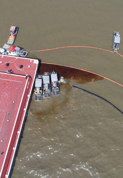
.jpg?itok=0qa31zt7 "Over 100,000 gallons of crude oil was estimated to have released from a barge within the Jamie Whitten Lock on the Tennessee Tombigee Waterway near New Site, Mississippi on Sept. 8. Image credit: Mississippi Emergency Management Agency.")
-cropped.jpg)

-cropped.jpg)
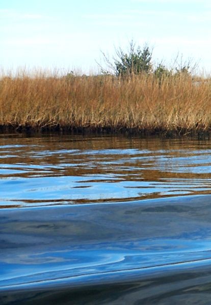
-cropped-large.jpg?itok=zVlmfX7O "Oil in the boat wake at the Deepwater Horizon site. Image credit: NOAA.")
-cropped.jpg)


-cropped.jpg)

-cropped.jpg)

-cropped.jpg)

-cropped.jpg)