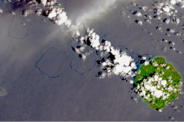
Lecture: Shipwrecks From Space: Oil Slick Observations for Monitoring and Rediscovery
We hope you can join this lecture — part of the monthly lecture series, You Don't Know What You Don't Know!
Note: This lecture is being held on the the fourth Thursday of the month, rather than the third.
This month's presenter will be Geoffrey Thiemann, Seeps Interpretation Lead at CGG Satellite Mapping, a geoscience company based in the United Kingdom with 50 years experience with remote sensing, starting with the first Landsat mission in 1972.
In his role as the Seeps Interpretation Lead, Geoffrey heads up CGG's Global Offshore Seepage Database of naturally occurring oil seepage which is used by many major O&G companies for their petroleum exploration efforts. Increasingly though, this remote sensing work is being turned towards environmental monitoring as "Seascope", with shipwreck sites being a key case study for this program.
Geoff holds a Master’s Degree in Geology from the University of Southampton, UK and is a regular contributor to CGG's websites on topics of satellite imagery and pollution events. Last year he was a co-author on an article in the publication ECO Magazine detailing oil spills at the Bikini Atoll, which will be further discussed in this presentation.
Mark your calendar for the third Thursday of the month — and please feel free to share the series with others in the professional spill planning, response, and environmental science communities.
 An official website of the United States government.