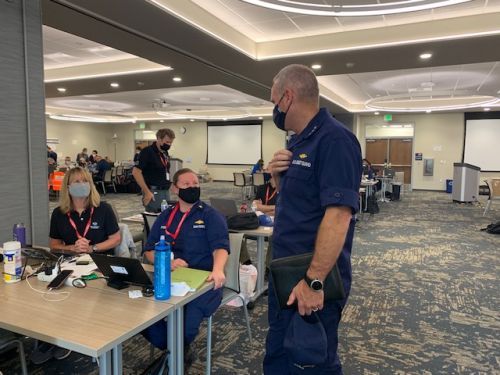
Update on NOAA Support for California Oil Spill
OCT. 15, 2021 — Since Oct. 2, 2021, NOAA has been providing scientific support for an oil spill off of Huntington Beach, California. A Unified Command, composed of Amplify Energy, the U.S. Coast Guard, and the California Department of Fish and Wildlife’s Office of Spill Prevention and Response, is directing spill response efforts. Orange and San Diego county representatives have also joined the Unified Command.
The source of the spill is a pipeline associated with the offshore platform “Elly” owned by Beta Offshore, a subsidiary of Amplify Energy. Platform Elly is a processing and gathering facility for four other production facilities off the coast.
The investigation is focusing on potential ship anchor damage. The spill volume is still reported as a maximum of 3,134 barrels (131,628 gallons) and a minimum spill of 588 barrels (24,696 gallons), but the Coast Guard has publicly stated that “the final count for the spill will likely be closer to the lower figure, which correlates with the amount of oiling seen on the California shore.” A multi-agency investigation continues separate from the spill response.
NOAA Activities
OR&R is providing on-scene and remote scientific support. This includes helping with shoreline assessment, development of shoreline treatment recommendations and clean-up endpoints, development of cleanup metrics, maintenance and monitoring plans, and development of best management practices for the protection of natural resources and historic properties.
OR&R is also providing situational awareness to the Unified Command via the Environmental Response Management Application (ERMA®). ERMA is an online mapping tool that brings a variety of data together into a single interactive mapping application.
See how ERMA is being used to display the cumulative oil spill footprint and evaluate risk to sensitive habitats in this interactive ERMA map.
The ERMA “SCAT Dashboard” has been implemented to show the number of shoreline segments surveyed and their degree of oiling status.
Using the recently published Job Aid for using uncrewed aircraft systems (UAS) during oil spill response, the OR&R team is preparing flight plans for shoreline surveys using UAS to support SCAT (shoreline cleanup assessment technique) work. UASs are an emerging and effective tool in oil spill response.
NOAA Office of Response and Restoration experts are working to help assess the impacts of pollution from the Huntington Beach spill. Our scientists are currently working to evaluate impacts to shorelines, fish and other life in the water column, human use and outdoor recreation, and other coastal resources. As natural resource trustees, NOAA works with federal, state, and tribal authorities, to assess injuries to coastal natural resources and work toward restoration.
NOAA Fisheries is supporting the response effort by working with local partners on the recovery and rehabilitation of any oil-impacted marine mammals and sea turtles. NOAA Fisheries also supports the U.S. Coast Guard and all responders by assessing the impacts of response activities on threatened and endangered species.
NOAA National Environmental Satellite, Data, and Information Service continues to provide satellite support. Even negative reports are useful in evaluating the need for offshore overflights, skimming, and trajectories. Due to the lack of aerial oil observations (e.g., from aircraft and satellite), further trajectory products will be limited.
NOAA’s National Weather Service continues to provide weather briefings and decision support to the Unified Command. Weather conditions will change how the oil moves and where it might strand on beaches.
 An official website of the United States government.

