 An official website of the United States government.
 News from the ESI Team
December 15, 2021 — Here are our latest announcements.
ESI Next Generation Workshop Report Released
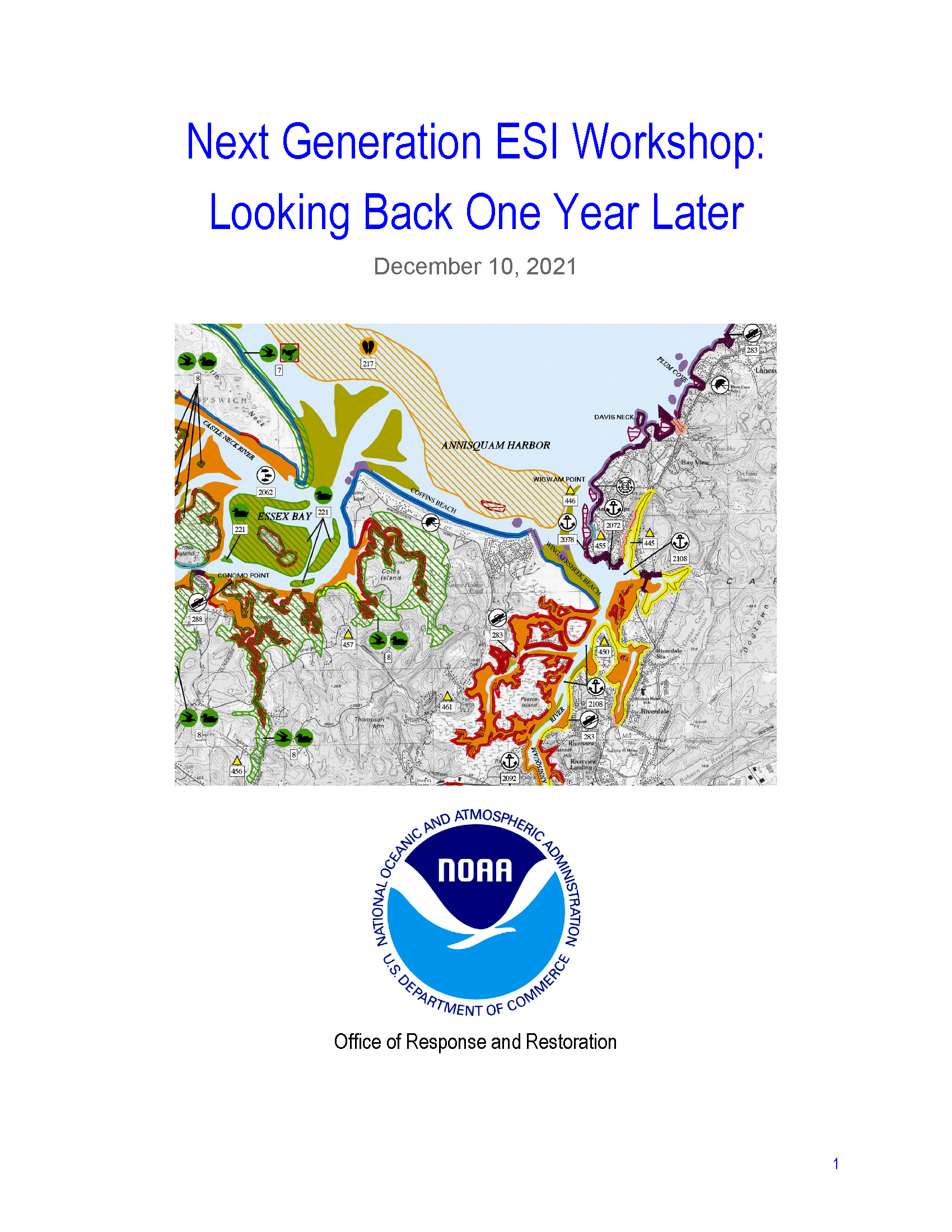
OR&R recently released a report detailing the proceedings and recommendations of a virtual workshop on the next generation of the Environmental Sensitivity Index (ESI) program and products. The workshop took place in the fall of 2020 and roughly 80 people attended each of the four days, representing a diverse group of federal agencies, state agencies, tribal representatives, private industry, and nonprofit organizations. OR&R thanks all of the participants in the workshop for sharing their valuable insights and ideas and contributing to the future of the ESI program.
The primary objective of the workshop was to explore the future of ESI mapping in a constrained budget environment. With no funding for ESIs from NOAA’s base budget in recent years, the program must either drastically cut costs or identify new funding sources in order to continue producing up-to-date products and meet the critical response and planning needs of users across the country. The workshop explored what data is most important, how the data is used, and what NOAA can do to keep the ESI product as useful as possible.
Download the report [PDF, 2.7 MB].
New ESI Products in 2021
The ESI program released new data and maps for two critical links in the Great Lakes region in November 2021. Work was completed in July to refresh ESI data for the St Marys and St Lawrence Rivers, and the maps are now available for download from the OR&R website, as well as through Great Lakes ERMA® (Environmental Response Management Application). Funding for this critical update was provided by the U.S. Coast Guard.
These rivers are high-risk corridors for an oil or chemical spill due to transport by rail, pipeline, and commercial shipping, and they contain diverse and sensitive habitats that have undergone substantial restoration enhancements since the creation of the original maps more than three decades ago. The previous ESI maps for the St Marys and St Lawrence Rivers dated to 1986 and 1985, respectively. This update will allow the new data to be fully incorporated into the digital analysis tools in ERMA.
The refresh of Great Lakes ESI maps will continue with updates for Lake Erie due in FY22.
ESI Updates in Recent Years
| ESI Atlas | Year Updated |
|---|---|
| Straits of Mackinac | 2019 |
| St. Clair/Detroit River System | 2019 |
| Maine & New Hampshire | 2016 |
| Massachusetts & Rhode Island | 2016 |
| Chesapeake Bay & Outer Coasts of Maryland and Virginia | 2016 |
| North Carolina | 2016 |
| Northwest Peninsular Florida | 2016 |
| Southwest Peninsular Florida | 2016 |
| New York and New Jersey (Metro, Hudson, S. Long Island) | 2016 |
| Long Island Sound | 2016 |
When completed, ESI maps and data are available for download from the ESI Downloads page, as well as included in OR&R’s online mapping tool, ERMA.
Archived News from the ESI Blog
November 14, 2014: Evolution of the ESI Map
July 11, 2014: Sandy ESI Status Update
January 21, 2014: Highlighting 2013: Previewing 2014
November 18, 2013: Updated ESIs to Improve Disaster Response and Planning
June 3, 2013: Florida Panhandle ESI Correction
April 24, 2013: Announcing ESI Data Online!
April 4, 2013: PDF Maps for the Florida Panhandle
February 14, 2013: Hitting the Road for the South Florida ESI Review
January 9, 2013: Zeroing in on Threatened and Endangered Species
December 12, 2012: Announcing the New ESI Blog
Questions: Contact us with questions, comments, or suggestions about ESI maps and data.